Area Overview for Alburgh
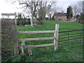
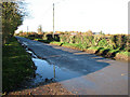
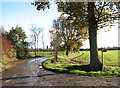
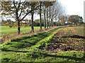
Photos of Alburgh
Area Information
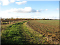
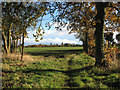
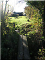
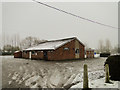
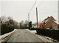
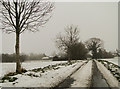
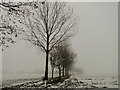
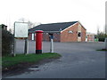
Alburgh is a small village and civil parish situated in the Waveney Valley within the South Norfolk district. This linear rural settlement stretches along the road linking Wortwell with Topcroft, covering an area of 6.9 km². Approximately 16 miles south of Norwich and four miles north-east of Harleston, the village borders Suffolk along the River Waveney. Evidence of human presence dates back centuries, with archaeological remains from the Mesolithic, Neolithic, and Bronze Age eras found within the parish. Historical records list it in the Domesday Book as a settlement of 33 households, divided between King William I, Count Alan of Brittany, and Eudo son of Spirewic. Today, the community maintains its quiet character through parish council activities, including a 50/50 club and sporting events at the playing field. Nearby amenities include a Grade I listed All Saints Church, a village hall, a primary school, and the Grain Brewery at South Farm. Living in Alburgh means embracing a lifestyle defined by its historic roots and close-knit, community-focused atmosphere rather than rapid development.
- Area Type
- Parish
- Area Size
- 6.9 km²
- Population
- Not available
- Population Density
- Not available
Demographics
The population of Alburgh stood at 409 people according to the 2021 census, an increase from 349 residents recorded in 2001. The community comprises 172 households across the parish. Home ownership is the dominant form of resident tenure, accounting for 78% of all households. This high level of ownership reflects a population where long-term stability is common. The demographic profile indicates a mature community, with a median age of 70 years. This suggests the village is primarily inhabited by older residents who have likely lived in the area for decades. Household composition and accommodation types vary across the linear settlement, though the prevalence of owner-occupied housing points to a lack of transient renting populations. Residents benefit from a local brewery taproom and active parish groups. While specific figures on ethnic diversity and religious affiliation are not detailed in available records, the strong emphasis on home ownership and a median age of 70 paints a clear picture of an established, older demographic focused on stability within this 6.9 km² area.
Household Size
Accommodation Type
Tenure
Ethnic Group
Religion
Household Composition
Age
Household Deprivation
NS-SEC
Explore more demographic insights in this area
Go to Demographics tabPlanning
Planning Constraints
- Flood RiskPremium
- Ramsar Wetland SitesPremium
- Area of Outstanding Natural BeautyPremium
- Protected Nature ReservePremium
- Protected WoodlandPremium
- Crime RiskPremium