Area Overview for AL9 5HQ
Photos of AL9 5HQ
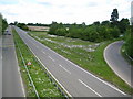
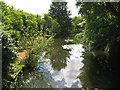
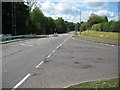
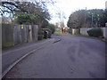
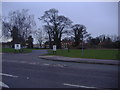
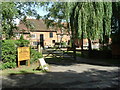
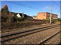
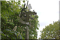
44 photos from this area
Area Information
Key information about the AL9 5HQ including its size, population, and administrative classification.
- Area Type
- Postcode
- Area Size
- 2.8 hectares
- Population
- 1885
- Population Density
- 1068 people/km²
House Prices in AL9 5HQ
17
Properties
£514,406
Average Sold Price
£227,000
Lowest Price
£867,500
Highest Price
Showing 17 properties
| Address | Type | Beds | Baths | Last Sale Price | Last Sale Date | |
|---|---|---|---|---|---|---|
| 6 The Holdings, Hatfield, AL9 5HQ | house | - | - | £690,000 | Mar 2021 | |
| 18 The Holdings, Hatfield, AL9 5HQ | house | - | - | £790,000 | Mar 2021 | |
| 12 The Holdings, Hatfield, AL9 5HQ | Detached | 5 | - | £867,500 | Nov 2020 | |
| 16 The Holdings, Hatfield, AL9 5HQ | Detached | 4 | 3 | £735,000 | Sep 2018 | |
| 34 The Holdings, Hatfield, AL9 5HQ | Detached | 4 | - | £505,000 | Mar 2015 | |
| 14 The Holdings, Hatfield, AL9 5HQ | Detached | 5 | 2 | £575,000 | Dec 2014 | |
| 26 The Holdings, Hatfield, AL9 5HQ | house | - | - | £476,000 | Aug 2014 | |
| 24 The Holdings, Hatfield, AL9 5HQ | Detached | 4 | 3 | £445,000 | Aug 2010 | |
| 30 The Holdings, Hatfield, AL9 5HQ | house | - | - | £475,000 | Jun 2010 | |
| 4 The Holdings, Hatfield, AL9 5HQ | house | - | - | £500,000 | Nov 2009 |
Page 1 of 2
Energy Efficiency in AL9 5HQ
Amenities
Schools
| Rank | School | Type | Entry gender | Ages |
|---|
Explore more schools in this area
Go to Schools tabDemographics
Household Size
Two person
most common
Accommodation Type
Houses
most common
Tenure
70
majority
Ethnic Group
White
most common
Religion
N/A
most common
Household Composition
N/A
most common
Age
47
median
Adults (30-64 years)
most common
Household Deprivation
N/A
with no deprivation
NS-SEC
51
in Lower managerial occupations
Explore more demographic insights in this area
Go to Demographics tabPlanning
Planning Constraints
- Flood RiskPremium
- Ramsar Wetland SitesPremium
- Area of Outstanding Natural BeautyPremium
- Protected Nature ReservePremium
- Protected WoodlandPremium