Area Overview for AL7 1QT
Photos of AL7 1QT
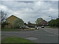
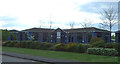
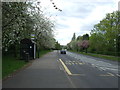
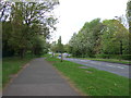
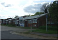
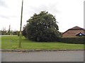
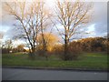
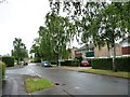
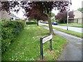
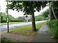
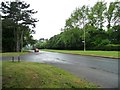
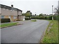
27 photos from this area
Area Information
Key information about the AL7 1QT including its size, population, and administrative classification.
- Area Type
- Postcode
- Area Size
- 1.9 hectares
- Population
- 1546
- Population Density
- 1499 people/km²
House Prices in AL7 1QT
38
Properties
£247,554
Average Sold Price
£80,000
Lowest Price
£485,000
Highest Price
Showing 38 properties
| Address | Type | Beds | Baths | Last Sale Price | Last Sale Date | |
|---|---|---|---|---|---|---|
| 79 Daniells, Welwyn Garden City, AL7 1QT | Terraced | 4 | 1 | £485,000 | Apr 2023 | |
| 119 Daniells, Welwyn Garden City, AL7 1QT | Terraced | 3 | 1 | £425,000 | Mar 2022 | |
| 115 Daniells, Welwyn Garden City, AL7 1QT | Terraced | 3 | - | £375,000 | May 2021 | |
| 135 Daniells, Welwyn Garden City, AL7 1QT | house | - | - | £395,000 | Oct 2020 | |
| 77 Daniells, Welwyn Garden City, AL7 1QT | Terraced | 3 | 1 | £305,000 | May 2020 | |
| 91 Daniells, Welwyn Garden City, AL7 1QT | Terraced | 4 | - | £340,000 | Jun 2019 | |
| 67 Daniells, Welwyn Garden City, AL7 1QT | Terraced | 3 | 1 | £295,000 | Aug 2017 | |
| 131 Daniells, Welwyn Garden City, AL7 1QT | house | - | - | £388,000 | Feb 2017 | |
| 69 Daniells, Welwyn Garden City, AL7 1QT | Terraced | 3 | 1 | £340,000 | Nov 2016 | |
| 105 Daniells, Welwyn Garden City, AL7 1QT | Terraced | 4 | - | £310,000 | Sep 2015 |
Page 1 of 4
Energy Efficiency in AL7 1QT
Amenities
Schools
| Rank | School | Type | Entry gender | Ages |
|---|
Explore more schools in this area
Go to Schools tabDemographics
Household Size
Family (3-5 people)
most common
Accommodation Type
Houses
most common
Tenure
70
majority
Ethnic Group
White
most common
Religion
N/A
most common
Household Composition
N/A
most common
Age
47
median
Adults (30-64 years)
most common
Household Deprivation
N/A
with no deprivation
NS-SEC
40
in Lower managerial occupations
Explore more demographic insights in this area
Go to Demographics tabPlanning
Planning Constraints
- Flood RiskPremium
- Ramsar Wetland SitesPremium
- Area of Outstanding Natural BeautyPremium
- Protected Nature ReservePremium
- Protected WoodlandPremium