Area Overview for AL6 9RF
Photos of AL6 9RF
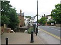
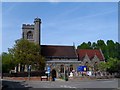
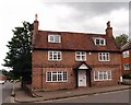
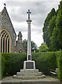
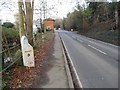
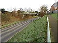
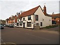
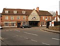
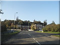
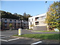
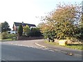
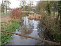
74 photos from this area
Area Information
Key information about the AL6 9RF including its size, population, and administrative classification.
- Area Type
- Postcode
- Area Size
- 1.1 hectares
- Population
- 1365
- Population Density
- 396 people/km²
House Prices in AL6 9RF
11
Properties
£644,325
Average Sold Price
£169,950
Lowest Price
£980,000
Highest Price
Showing 11 properties
| Address | Type | Beds | Baths | Last Sale Price | Last Sale Date | |
|---|---|---|---|---|---|---|
| 24 Carleton Rise, Welwyn, AL6 9RF | Detached | 4 | 2 | £980,000 | Aug 2024 | |
| 34 Carleton Rise, Welwyn, AL6 9RF | Detached | 4 | 1 | £740,000 | Jan 2024 | |
| 26 Carleton Rise, Welwyn, AL6 9RF | Detached | 4 | 2 | £881,000 | Oct 2019 | |
| 32 Carleton Rise, Welwyn, AL6 9RF | Detached | 5 | 3 | £620,000 | Apr 2012 | |
| 36 Carleton Rise, Welwyn, AL6 9RF | Detached | - | - | £475,000 | Apr 2002 | |
| 22 Carleton Rise, Welwyn, AL6 9RF | Detached | - | - | £169,950 | May 1995 | |
| 18 Carleton Rise, Welwyn, AL6 9RF | Detached | - | - | - | - | |
| 16 Carleton Rise, Welwyn, AL6 9RF | Detached | - | - | - | - | |
| 20 Carleton Rise, Welwyn, AL6 9RF | Detached | - | - | - | - | |
| 28 Carleton Rise, Welwyn, AL6 9RF | Detached | - | - | - | - |
Page 1 of 2
Energy Efficiency in AL6 9RF
Amenities
Schools
| Rank | School | Type | Entry gender | Ages |
|---|
Explore more schools in this area
Go to Schools tabDemographics
Household Size
Two person
most common
Accommodation Type
Houses
most common
Tenure
87
majority
Ethnic Group
White
most common
Religion
N/A
most common
Household Composition
N/A
most common
Age
47
median
Adults (30-64 years)
most common
Household Deprivation
N/A
with no deprivation
NS-SEC
56
in Lower managerial occupations
Explore more demographic insights in this area
Go to Demographics tabPlanning
Planning Constraints
- Flood RiskPremium
- Ramsar Wetland SitesPremium
- Area of Outstanding Natural BeautyPremium
- Protected Nature ReservePremium
- Protected WoodlandPremium