Area Overview for AL5 5UG
Photos of AL5 5UG
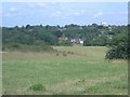
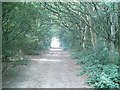
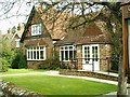
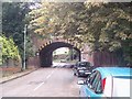
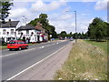
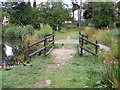
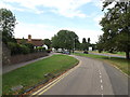
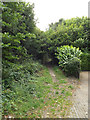
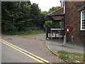
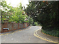
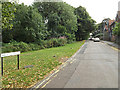
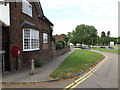
100 photos from this area
Area Information
Key information about the AL5 5UG including its size, population, and administrative classification.
- Area Type
- Postcode
- Area Size
- 1.8 hectares
- Population
- 1932
- Population Density
- 1538 people/km²
House Prices in AL5 5UG
66
Properties
£231,325
Average Sold Price
£53,500
Lowest Price
£330,000
Highest Price
Showing 66 properties
| Address | Type | Beds | Baths | Last Sale Price | Last Sale Date | |
|---|---|---|---|---|---|---|
| 88 Aysgarth Close, Harpenden, AL5 5UG | Flat | 2 | 1 | £245,000 | Nov 2025 | |
| 64 Aysgarth Close, Harpenden, AL5 5UG | Flat | 2 | 1 | £283,000 | Jun 2025 | |
| 62 Aysgarth Close, Harpenden, AL5 5UG | Flat | - | - | £277,500 | May 2025 | |
| 7 Aysgarth Close, Harpenden, AL5 5UG | Flat | - | - | £330,000 | Sep 2023 | |
| 23 Aysgarth Close, Harpenden, AL5 5UG | Flat | - | - | £327,500 | Jun 2023 | |
| 13 Aysgarth Close, Harpenden, AL5 5UG | Flat | 2 | 1 | £315,000 | Aug 2022 | |
| 76 Aysgarth Close, Harpenden, AL5 5UG | Flat | 2 | 1 | £315,000 | Jun 2022 | |
| 92 Aysgarth Close, Harpenden, AL5 5UG | Flat | - | - | £310,000 | Feb 2022 | |
| 21 Aysgarth Close, Harpenden, AL5 5UG | Flat | 2 | - | £285,000 | Feb 2022 | |
| 70 Aysgarth Close, Harpenden, AL5 5UG | Flat | - | - | £320,000 | Oct 2018 |
Page 1 of 7
Energy Efficiency in AL5 5UG
Amenities
Schools
| Rank | School | Type | Entry gender | Ages |
|---|
Explore more schools in this area
Go to Schools tabDemographics
Household Size
One person
most common
Accommodation Type
Flats
most common
Tenure
56
majority
Ethnic Group
White
most common
Religion
N/A
most common
Household Composition
N/A
most common
Age
47
median
Adults (30-64 years)
most common
Household Deprivation
N/A
with no deprivation
NS-SEC
55
in Lower managerial occupations
Explore more demographic insights in this area
Go to Demographics tabPlanning
Planning Constraints
- Flood RiskPremium
- Ramsar Wetland SitesPremium
- Area of Outstanding Natural BeautyPremium
- Protected Nature ReservePremium
- Protected WoodlandPremium