Area Overview for AL5 5LH
Photos of AL5 5LH
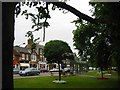
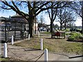
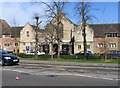
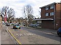

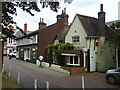


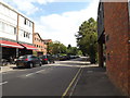
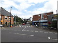

100 photos from this area
Area Information
Key information about the AL5 5LH including its size, population, and administrative classification.
- Area Type
- Postcode
- Area Size
- 2172 m²
- Population
- 1656
- Population Density
- 6280 people/km²
House Prices in AL5 5LH
15
Properties
£205,615
Average Sold Price
£87,000
Lowest Price
£290,000
Highest Price
Showing 15 properties
| Address | Type | Beds | Baths | Last Sale Price | Last Sale Date | |
|---|---|---|---|---|---|---|
| 13, Yardley Court, Milton Road, Harpenden, AL5 5LH | Flat | - | - | £265,000 | Jul 2023 | |
| 4, Yardley Court, Milton Road, Harpenden, AL5 5LH | Flat | 1 | 1 | £290,000 | Jul 2020 | |
| 14, Yardley Court, Milton Road, Harpenden, AL5 5LH | Flat | - | - | £265,000 | Dec 2019 | |
| 11, Yardley Court, Milton Road, Harpenden, AL5 5LH | Flat | 1 | 1 | £262,500 | Feb 2017 | |
| 1, Yardley Court, Milton Road, Harpenden, AL5 5LH | Flat | - | - | £235,000 | Feb 2016 | |
| 3, Yardley Court, Milton Road, Harpenden, AL5 5LH | Flat | - | - | £275,000 | Oct 2015 | |
| 6, Yardley Court, Milton Road, Harpenden, AL5 5LH | Flat | - | - | £180,000 | May 2012 | |
| 2, Yardley Court, Milton Road, Harpenden, AL5 5LH | Flat | - | - | £179,000 | Jun 2007 | |
| 12, Yardley Court, Milton Road, Harpenden, AL5 5LH | Flat | - | - | £170,000 | Aug 2006 | |
| 15, Yardley Court, Milton Road, Harpenden, AL5 5LH | Flat | - | - | £155,000 | Sep 2004 |
Page 1 of 2
Energy Efficiency in AL5 5LH
Amenities
Schools
| Rank | School | Type | Entry gender | Ages |
|---|
Explore more schools in this area
Go to Schools tabDemographics
Household Size
Family (3-5 people)
most common
Accommodation Type
Houses
most common
Tenure
69
majority
Ethnic Group
White
most common
Religion
N/A
most common
Household Composition
N/A
most common
Age
47
median
Adults (30-64 years)
most common
Household Deprivation
N/A
with no deprivation
NS-SEC
64
in Lower managerial occupations
Explore more demographic insights in this area
Go to Demographics tabPlanning
Planning Constraints
- Flood RiskPremium
- Ramsar Wetland SitesPremium
- Area of Outstanding Natural BeautyPremium
- Protected Nature ReservePremium
- Protected WoodlandPremium