Area Overview for AL4 9AJ
Photos of AL4 9AJ
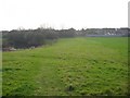
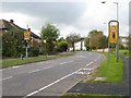
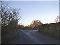
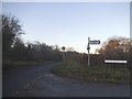
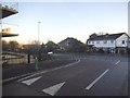
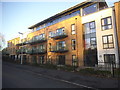
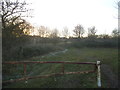
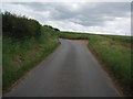
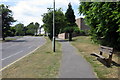
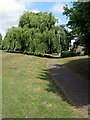
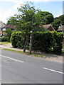
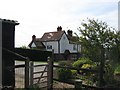
17 photos from this area
Area Information
Key information about the AL4 9AJ including its size, population, and administrative classification.
- Area Type
- Postcode
- Area Size
- 1.9 hectares
- Population
- 1676
- Population Density
- 2878 people/km²
House Prices in AL4 9AJ
41
Properties
£401,629
Average Sold Price
£85,500
Lowest Price
£775,000
Highest Price
Showing 41 properties
| Address | Type | Beds | Baths | Last Sale Price | Last Sale Date | |
|---|---|---|---|---|---|---|
| 15 Ripon Way, St Albans, AL4 9AJ | Bungalow | 2 | 1 | £350,000 | Nov 2025 | |
| 12 Ripon Way, St Albans, AL4 9AJ | Bungalow | 2 | 1 | £450,000 | Feb 2025 | |
| 6 Ripon Way, St Albans, AL4 9AJ | Bungalow | 3 | 1 | £475,000 | Apr 2024 | |
| 31 Ripon Way, St Albans, AL4 9AJ | Detached | 4 | 2 | £700,000 | Jul 2023 | |
| 34 Ripon Way, St Albans, AL4 9AJ | Detached | 3 | 2 | £700,000 | Jun 2021 | |
| 20 Ripon Way, St Albans, AL4 9AJ | Terraced | 2 | 1 | £380,000 | May 2021 | |
| 39 Ripon Way, St Albans, AL4 9AJ | house | - | - | £613,000 | May 2021 | |
| 28 Ripon Way, St Albans, AL4 9AJ | house | - | - | £525,000 | Dec 2020 | |
| 40 Ripon Way, St Albans, AL4 9AJ | house | - | - | £775,000 | Nov 2020 | |
| 18 Ripon Way, St Albans, AL4 9AJ | Bungalow | 2 | 1 | £335,000 | Mar 2019 |
Page 1 of 5
Energy Efficiency in AL4 9AJ
Amenities
Schools
| Rank | School | Type | Entry gender | Ages |
|---|
Explore more schools in this area
Go to Schools tabDemographics
Household Size
One person
most common
Accommodation Type
Houses
most common
Tenure
80
majority
Ethnic Group
White
most common
Religion
N/A
most common
Household Composition
N/A
most common
Age
47
median
Adults (30-64 years)
most common
Household Deprivation
N/A
with no deprivation
NS-SEC
47
in Lower managerial occupations
Explore more demographic insights in this area
Go to Demographics tabPlanning
Planning Constraints
- Flood RiskPremium
- Ramsar Wetland SitesPremium
- Area of Outstanding Natural BeautyPremium
- Protected Nature ReservePremium
- Protected WoodlandPremium