Area Overview for AL4 8PS
Photos of AL4 8PS
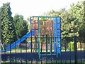
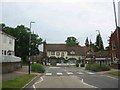
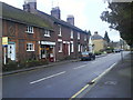
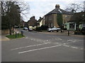
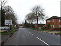
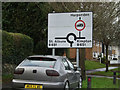
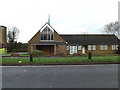
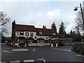
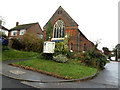
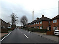
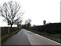
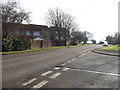
60 photos from this area
Area Information
Key information about the AL4 8PS including its size, population, and administrative classification.
- Area Type
- Postcode
- Area Size
- 7803 m²
- Population
- 1812
- Population Density
- 2361 people/km²
House Prices in AL4 8PS
15
Properties
£319,375
Average Sold Price
£166,500
Lowest Price
£485,000
Highest Price
Showing 15 properties
| Address | Type | Beds | Baths | Last Sale Price | Last Sale Date | |
|---|---|---|---|---|---|---|
| 76 The Hill, Wheathampstead, AL4 8PS | Detached | - | - | £390,000 | Jun 2021 | |
| 74 The Hill, Wheathampstead, AL4 8PS | house | - | - | £435,000 | Feb 2021 | |
| 46 The Hill, Wheathampstead, AL4 8PS | house | 4 | - | £250,000 | Apr 2006 | |
| 80 The Hill, Wheathampstead, AL4 8PS | Detached | 4 | 2 | £485,000 | Dec 2005 | |
| 44 The Hill, Wheathampstead, AL4 8PS | Office | - | - | £166,500 | May 2001 | |
| 78 The Hill, Wheathampstead, AL4 8PS | house | 3 | 2 | £189,750 | Dec 2000 | |
| Flat 3, 48 The Hill, Wheathampstead, AL4 8PS | Flat | 2 | 1 | - | - | |
| 50 The Hill, Wheathampstead, AL4 8PS | Detached | - | - | - | - | |
| 70 The Hill, Wheathampstead, AL4 8PS | Detached | - | - | - | - | |
| 76A The Hill, Wheathampstead, AL4 8PS | Cottage | 2 | 1 | - | - |
Page 1 of 2
Energy Efficiency in AL4 8PS
Amenities
Schools
| Rank | School | Type | Entry gender | Ages |
|---|
Explore more schools in this area
Go to Schools tabDemographics
Household Size
Family (3-5 people)
most common
Accommodation Type
Houses
most common
Tenure
77
majority
Ethnic Group
White
most common
Religion
N/A
most common
Household Composition
N/A
most common
Age
47
median
Adults (30-64 years)
most common
Household Deprivation
N/A
with no deprivation
NS-SEC
51
in Lower managerial occupations
Explore more demographic insights in this area
Go to Demographics tabPlanning
Planning Constraints
- Flood RiskPremium
- Ramsar Wetland SitesPremium
- Area of Outstanding Natural BeautyPremium
- Protected Nature ReservePremium
- Protected WoodlandPremium