Area Overview for AL4 8HZ
Photos of AL4 8HZ
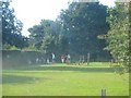
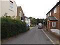
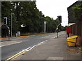
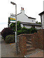
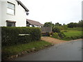
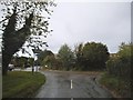
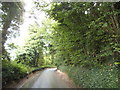
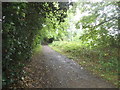
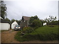
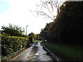
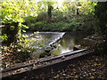
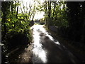
43 photos from this area
Area Information
Key information about the AL4 8HZ including its size, population, and administrative classification.
- Area Type
- Postcode
- Area Size
- 4.3 hectares
- Population
- 1403
- Population Density
- 84 people/km²
House Prices in AL4 8HZ
22
Properties
£458,766
Average Sold Price
£92,950
Lowest Price
£738,000
Highest Price
Showing 22 properties
| Address | Type | Beds | Baths | Last Sale Price | Last Sale Date | |
|---|---|---|---|---|---|---|
| 43 Marshalls Way, Wheathampstead, AL4 8HZ | Semi-detached | 3 | 1 | £738,000 | May 2024 | |
| 33 Marshalls Way, Wheathampstead, AL4 8HZ | house | - | - | £610,000 | Apr 2021 | |
| 17 Marshalls Way, Wheathampstead, AL4 8HZ | house | - | - | £550,000 | Dec 2019 | |
| 31 Marshalls Way, Wheathampstead, AL4 8HZ | Semi-detached | 3 | 2 | £615,000 | Dec 2019 | |
| 27 Marshalls Way, Wheathampstead, AL4 8HZ | house | 4 | 2 | £600,000 | Jul 2019 | |
| 21 Marshalls Way, Wheathampstead, AL4 8HZ | house | - | - | £530,000 | Mar 2019 | |
| 11 Marshalls Way, Wheathampstead, AL4 8HZ | Semi-detached | 3 | 1 | £525,000 | Mar 2018 | |
| 41 Marshalls Way, Wheathampstead, AL4 8HZ | Bungalow | 2 | 1 | £480,000 | Apr 2017 | |
| 37 Marshalls Way, Wheathampstead, AL4 8HZ | Semi-detached | 3 | 2 | £475,000 | Feb 2015 | |
| 23 Marshalls Way, Wheathampstead, AL4 8HZ | house | - | - | £500,000 | Aug 2014 |
Page 1 of 3
Energy Efficiency in AL4 8HZ
Amenities
Schools
| Rank | School | Type | Entry gender | Ages |
|---|
Explore more schools in this area
Go to Schools tabDemographics
Household Size
Two person
most common
Accommodation Type
Houses
most common
Tenure
86
majority
Ethnic Group
White
most common
Religion
N/A
most common
Household Composition
N/A
most common
Age
47
median
Adults (30-64 years)
most common
Household Deprivation
N/A
with no deprivation
NS-SEC
56
in Lower managerial occupations
Explore more demographic insights in this area
Go to Demographics tabPlanning
Planning Constraints
- Flood RiskPremium
- Ramsar Wetland SitesPremium
- Area of Outstanding Natural BeautyPremium
- Protected Nature ReservePremium
- Protected WoodlandPremium