Area Overview for AL4 8BG
Photos of AL4 8BG
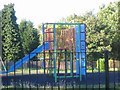
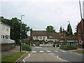
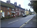
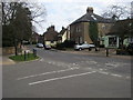
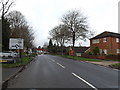
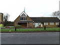
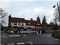
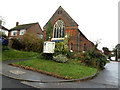
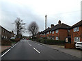
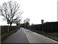
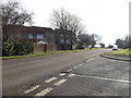
60 photos from this area
Area Information
Key information about the AL4 8BG including its size, population, and administrative classification.
- Area Type
- Postcode
- Area Size
- 8917 m²
- Population
- 1603
- Population Density
- 1067 people/km²
House Prices in AL4 8BG
13
Properties
£726,750
Average Sold Price
£450,000
Lowest Price
£1,000,000
Highest Price
Showing 13 properties
| Address | Type | Beds | Baths | Last Sale Price | Last Sale Date | |
|---|---|---|---|---|---|---|
| 5 St Thomas Place, Wheathampstead, AL4 8BG | Detached | 6 | 3 | £1,000,000 | Nov 2024 | |
| 2 St Thomas Place, Wheathampstead, AL4 8BG | house | 4 | 1 | £875,000 | Aug 2024 | |
| 14 St Thomas Place, Wheathampstead, AL4 8BG | house | - | - | £785,000 | Mar 2022 | |
| 12 St Thomas Place, Wheathampstead, AL4 8BG | house | - | - | £685,000 | Dec 2020 | |
| 10 St Thomas Place, Wheathampstead, AL4 8BG | Detached | 5 | 3 | £850,000 | Dec 2018 | |
| 7 St Thomas Place, Wheathampstead, AL4 8BG | Detached | 4 | 3 | £675,000 | Oct 2015 | |
| 1 St Thomas Place, Wheathampstead, AL4 8BG | Detached | - | - | £494,000 | Mar 2007 | |
| 8 St Thomas Place, Wheathampstead, AL4 8BG | Detached | - | - | £450,000 | Oct 2006 | |
| 4 St Thomas Place, Wheathampstead, AL4 8BG | Detached | - | - | - | - | |
| 16 St Thomas Place, Wheathampstead, AL4 8BG | Detached | - | - | - | - |
Page 1 of 2
Energy Efficiency in AL4 8BG
Amenities
Schools
| Rank | School | Type | Entry gender | Ages |
|---|
Explore more schools in this area
Go to Schools tabDemographics
Household Size
Family (3-5 people)
most common
Accommodation Type
Houses
most common
Tenure
52
majority
Ethnic Group
White
most common
Religion
N/A
most common
Household Composition
N/A
most common
Age
47
median
Adults (30-64 years)
most common
Household Deprivation
N/A
with no deprivation
NS-SEC
34
in Lower managerial occupations
Explore more demographic insights in this area
Go to Demographics tabPlanning
Planning Constraints
- Flood RiskPremium
- Ramsar Wetland SitesPremium
- Area of Outstanding Natural BeautyPremium
- Protected Nature ReservePremium
- Protected WoodlandPremium