Area Overview for AL4 0DW
Photos of AL4 0DW
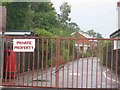
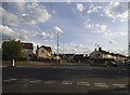
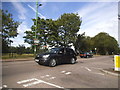
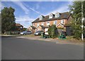
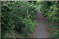
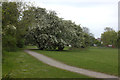
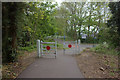
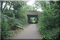
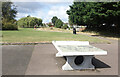
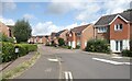
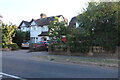
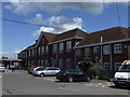
25 photos from this area
Area Information
Key information about the AL4 0DW including its size, population, and administrative classification.
- Area Type
- Postcode
- Area Size
- 8735 m²
- Population
- 1909
- Population Density
- 6542 people/km²
House Prices in AL4 0DW
40
Properties
£251,578
Average Sold Price
£49,500
Lowest Price
£610,000
Highest Price
Showing 40 properties
| Address | Type | Beds | Baths | Last Sale Price | Last Sale Date | |
|---|---|---|---|---|---|---|
| 32 Cedarwood Drive, St Albans, AL4 0DW | Terraced | 3 | 1 | £455,000 | Nov 2025 | |
| 72 Cedarwood Drive, St Albans, AL4 0DW | Flat | - | - | £285,000 | Nov 2023 | |
| 38 Cedarwood Drive, St Albans, AL4 0DW | house | 3 | 1 | £610,000 | Aug 2022 | |
| 36 Cedarwood Drive, St Albans, AL4 0DW | Retail | 4 | 1 | £536,000 | Feb 2022 | |
| 68 Cedarwood Drive, St Albans, AL4 0DW | Flat | - | - | £287,000 | Jun 2021 | |
| 28 Cedarwood Drive, St Albans, AL4 0DW | house | 3 | 2 | £428,000 | Apr 2018 | |
| 54 Cedarwood Drive, St Albans, AL4 0DW | Flat | - | - | £266,250 | Oct 2017 | |
| 6 Cedarwood Drive, St Albans, AL4 0DW | Detached | 4 | 1 | £580,000 | Apr 2017 | |
| 62 Cedarwood Drive, St Albans, AL4 0DW | Flat | - | - | £257,500 | Oct 2015 | |
| 60 Cedarwood Drive, St Albans, AL4 0DW | Flat | 2 | 1 | £250,000 | Sep 2015 |
Page 1 of 4
Energy Efficiency in AL4 0DW
Amenities
Schools
| Rank | School | Type | Entry gender | Ages |
|---|
Explore more schools in this area
Go to Schools tabDemographics
Household Size
Family (3-5 people)
most common
Accommodation Type
Houses
most common
Tenure
79
majority
Ethnic Group
White
most common
Religion
N/A
most common
Household Composition
N/A
most common
Age
47
median
Adults (30-64 years)
most common
Household Deprivation
N/A
with no deprivation
NS-SEC
54
in Lower managerial occupations
Explore more demographic insights in this area
Go to Demographics tabPlanning
Planning Constraints
- Flood RiskPremium
- Ramsar Wetland SitesPremium
- Area of Outstanding Natural BeautyPremium
- Protected Nature ReservePremium
- Protected WoodlandPremium