Area Overview for AL4 0DB
Photos of AL4 0DB
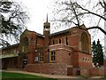
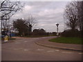
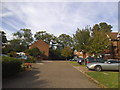
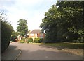
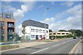
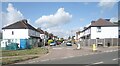
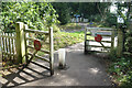
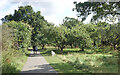
26 photos from this area
Area Information
Key information about the AL4 0DB including its size, population, and administrative classification.
- Area Type
- Postcode
- Area Size
- 2.3 hectares
- Population
- 1279
- Population Density
- 2808 people/km²
House Prices in AL4 0DB
10
Properties
£461,245
Average Sold Price
£239,950
Lowest Price
£735,000
Highest Price
Showing 10 properties
| Address | Type | Beds | Baths | Last Sale Price | Last Sale Date | |
|---|---|---|---|---|---|---|
| 47 Russet Drive, St Albans, AL4 0DB | Detached | 4 | 2 | £735,000 | Dec 2019 | |
| 51 Russet Drive, St Albans, AL4 0DB | Detached | 3 | - | £636,000 | May 2016 | |
| 43 Russet Drive, St Albans, AL4 0DB | Detached | 4 | - | £579,000 | Oct 2014 | |
| 41 Russet Drive, St Albans, AL4 0DB | Detached | 4 | 2 | £567,500 | Sep 2014 | |
| 49 Russet Drive, St Albans, AL4 0DB | Detached | - | - | £520,000 | Oct 2011 | |
| 39 Russet Drive, St Albans, AL4 0DB | house | 5 | 3 | £372,000 | Dec 2009 | |
| 55 Russet Drive, St Albans, AL4 0DB | Detached | 5 | 3 | £303,000 | Jul 2005 | |
| 45 Russet Drive, St Albans, AL4 0DB | Detached | - | - | £385,000 | Jun 2005 | |
| 53 Russet Drive, St Albans, AL4 0DB | house | - | - | £239,950 | Jun 2001 | |
| 57 Russet Drive, St Albans, AL4 0DB | Detached | - | - | £275,000 | Feb 1998 |
Energy Efficiency in AL4 0DB
Amenities
Schools
| Rank | School | Type | Entry gender | Ages |
|---|
Explore more schools in this area
Go to Schools tabDemographics
Household Size
Family (3-5 people)
most common
Accommodation Type
Houses
most common
Tenure
47
majority
Ethnic Group
White
most common
Religion
N/A
most common
Household Composition
N/A
most common
Age
47
median
Adults (30-64 years)
most common
Household Deprivation
N/A
with no deprivation
NS-SEC
44
in Lower managerial occupations
Explore more demographic insights in this area
Go to Demographics tabPlanning
Planning Constraints
- Flood RiskPremium
- Ramsar Wetland SitesPremium
- Area of Outstanding Natural BeautyPremium
- Protected Nature ReservePremium
- Protected WoodlandPremium