Area Overview for AL3 6RS
Photos of AL3 6RS
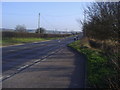
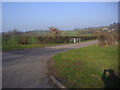
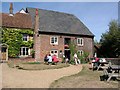
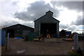
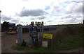
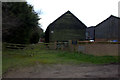
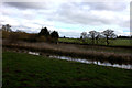
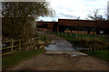
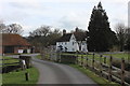
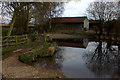
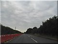
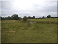
50 photos from this area
Area Information
Key information about the AL3 6RS including its size, population, and administrative classification.
- Area Type
- Postcode
- Area Size
- 68.4 hectares
- Population
- 1458
- Population Density
- 42 people/km²
House Prices in AL3 6RS
8
Properties
£1,735,372
Average Sold Price
£1,735,372
Lowest Price
£1,735,372
Highest Price
Showing 8 properties
| Address | Type | Beds | Baths | Last Sale Price | Last Sale Date | |
|---|---|---|---|---|---|---|
| Redbournbury House, Redbournbury Lane, Redbourn, AL3 6RS | Detached | 4 | 2 | £1,735,372 | Mar 2011 | |
| Verford Cottage, Redbournbury Lane, Redbourn, AL3 6RS | Detached | 4 | 2 | - | - | |
| The Mill House, Redbournbury Mill, Redbournbury Lane, Redbourn, AL3 6RS | Detached | 4 | 2 | - | - | |
| Bury Lodge, Redbournbury Lane, Redbourn, AL3 6RS | house | - | - | - | - | |
| Westmains, Redbournbury Lane, Redbourn, AL3 6RS | house | - | - | - | - | |
| Logwood Computing Ltd, Unit 1 Crown Yard, Redbournbury Farm, Redbournbury Lane, Redbourn, AL3 6RS | office_workshop | - | - | - | - | |
| Unit 2 Crown Yard, Redbournbury Farm, Redbournbury Lane, Redbourn, AL3 6RS | office_workshop | - | - | - | - | |
| The Former Watercress Beds, Redbournbury Lane, Redbourn, AL3 6RS | Leisure | - | - | - | - |
Energy Efficiency in AL3 6RS
Amenities
Schools
| Rank | School | Type | Entry gender | Ages |
|---|
Explore more schools in this area
Go to Schools tabDemographics
Household Size
Two person
most common
Accommodation Type
Houses
most common
Tenure
74
majority
Ethnic Group
White
most common
Religion
N/A
most common
Household Composition
N/A
most common
Age
47
median
Adults (30-64 years)
most common
Household Deprivation
N/A
with no deprivation
NS-SEC
52
in Lower managerial occupations
Explore more demographic insights in this area
Go to Demographics tabPlanning
Planning Constraints
- Flood RiskPremium
- Ramsar Wetland SitesPremium
- Area of Outstanding Natural BeautyPremium
- Protected Nature ReservePremium
- Protected WoodlandPremium