Area Overview for AL3 6HP
Photos of AL3 6HP
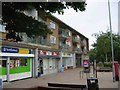
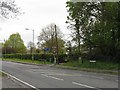
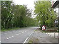
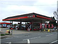
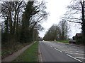
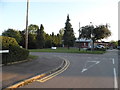
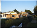
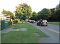
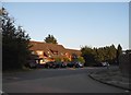
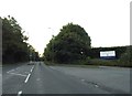
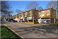
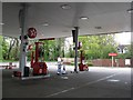
21 photos from this area
Area Information
Key information about the AL3 6HP including its size, population, and administrative classification.
- Area Type
- Postcode
- Area Size
- 3.4 hectares
- Population
- 1948
- Population Density
- 4583 people/km²
House Prices in AL3 6HP
43
Properties
£416,003
Average Sold Price
£135,950
Lowest Price
£760,000
Highest Price
Showing 43 properties
| Address | Type | Beds | Baths | Last Sale Price | Last Sale Date | |
|---|---|---|---|---|---|---|
| 54 Cavan Drive, St Albans, AL3 6HP | Semi-detached | 4 | 2 | £755,000 | Jul 2025 | |
| 37 Cavan Drive, St Albans, AL3 6HP | house | 4 | 2 | £760,000 | Jan 2024 | |
| 77 Cavan Drive, St Albans, AL3 6HP | Semi-detached | 3 | 1 | £610,000 | Dec 2023 | |
| 79A Cavan Drive, St Albans, AL3 6HP | Maisonette | 2 | - | £315,000 | Oct 2021 | |
| 45 Cavan Drive, St Albans, AL3 6HP | house | - | - | £417,500 | Mar 2021 | |
| 44 Cavan Drive, St Albans, AL3 6HP | house | - | - | £545,000 | Dec 2020 | |
| 38 Cavan Drive, St Albans, AL3 6HP | house | 3 | 1 | £472,500 | Feb 2019 | |
| 79 Cavan Drive, St Albans, AL3 6HP | Flat | - | - | £350,000 | Jan 2018 | |
| 89 Cavan Drive, St Albans, AL3 6HP | Semi-detached | 3 | 1 | £495,000 | Nov 2017 | |
| 51 Cavan Drive, St Albans, AL3 6HP | Semi-detached | 4 | - | £511,000 | Jul 2017 |
Page 1 of 5
Energy Efficiency in AL3 6HP
Amenities
Schools
| Rank | School | Type | Entry gender | Ages |
|---|
Explore more schools in this area
Go to Schools tabDemographics
Household Size
Family (3-5 people)
most common
Accommodation Type
Houses
most common
Tenure
61
majority
Ethnic Group
White
most common
Religion
N/A
most common
Household Composition
N/A
most common
Age
47
median
Adults (30-64 years)
most common
Household Deprivation
N/A
with no deprivation
NS-SEC
38
in Lower managerial occupations
Explore more demographic insights in this area
Go to Demographics tabPlanning
Planning Constraints
- Flood RiskPremium
- Ramsar Wetland SitesPremium
- Area of Outstanding Natural BeautyPremium
- Protected Nature ReservePremium
- Protected WoodlandPremium