Area Overview for AL3 5AW
Photos of AL3 5AW
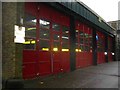
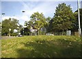
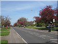
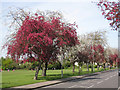
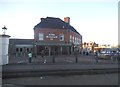
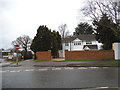
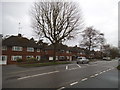
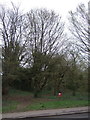
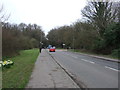
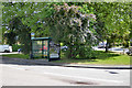
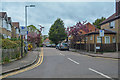
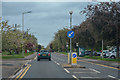
73 photos from this area
Area Information
Key information about the AL3 5AW including its size, population, and administrative classification.
- Area Type
- Postcode
- Area Size
- 1.6 hectares
- Population
- 2059
- Population Density
- 1701 people/km²
House Prices in AL3 5AW
24
Properties
£366,012
Average Sold Price
£90,000
Lowest Price
£765,000
Highest Price
Showing 24 properties
| Address | Type | Beds | Baths | Last Sale Price | Last Sale Date | |
|---|---|---|---|---|---|---|
| 121 Beech Road, St Albans, AL3 5AW | Semi-detached | 3 | 1 | £700,000 | Jan 2024 | |
| 103 Beech Road, St Albans, AL3 5AW | house | - | - | £594,250 | Mar 2021 | |
| 107 Beech Road, St Albans, AL3 5AW | house | - | - | £765,000 | Nov 2020 | |
| 113 Beech Road, St Albans, AL3 5AW | house | 4 | 2 | £578,000 | Oct 2013 | |
| 143 Beech Road, St Albans, AL3 5AW | house | 3 | - | £386,000 | Apr 2012 | |
| 137 Beech Road, St Albans, AL3 5AW | house | - | - | £442,500 | Dec 2011 | |
| 141 Beech Road, St Albans, AL3 5AW | house | - | - | £370,000 | Sep 2011 | |
| 111 Beech Road, St Albans, AL3 5AW | Semi-detached | 3 | 1 | £315,000 | Jun 2006 | |
| 105 Beech Road, St Albans, AL3 5AW | Semi-detached | - | - | £310,000 | Mar 2006 | |
| 119 Beech Road, St Albans, AL3 5AW | Semi-detached | 3 | 1 | £320,000 | Feb 2006 |
Page 1 of 3
Energy Efficiency in AL3 5AW
Amenities
Schools
| Rank | School | Type | Entry gender | Ages |
|---|
Explore more schools in this area
Go to Schools tabDemographics
Household Size
Family (3-5 people)
most common
Accommodation Type
Houses
most common
Tenure
67
majority
Ethnic Group
White
most common
Religion
N/A
most common
Household Composition
N/A
most common
Age
47
median
Adults (30-64 years)
most common
Household Deprivation
N/A
with no deprivation
NS-SEC
49
in Lower managerial occupations
Explore more demographic insights in this area
Go to Demographics tabPlanning
Planning Constraints
- Flood RiskPremium
- Ramsar Wetland SitesPremium
- Area of Outstanding Natural BeautyPremium
- Protected Nature ReservePremium
- Protected WoodlandPremium