Area Overview for AL3 5AL
Photos of AL3 5AL
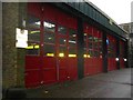
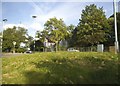
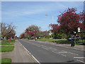
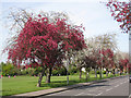
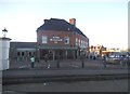
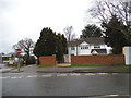
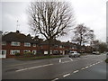
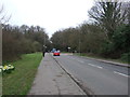
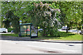
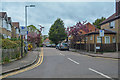
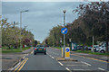
73 photos from this area
Area Information
Key information about the AL3 5AL including its size, population, and administrative classification.
- Area Type
- Postcode
- Area Size
- 2.9 hectares
- Population
- 2115
- Population Density
- 5015 people/km²
House Prices in AL3 5AL
28
Properties
£595,500
Average Sold Price
£151,000
Lowest Price
£990,000
Highest Price
Showing 28 properties
| Address | Type | Beds | Baths | Last Sale Price | Last Sale Date | |
|---|---|---|---|---|---|---|
| 25 Sheppards Close, St Albans, AL3 5AL | Semi-detached | 3 | 2 | £840,000 | Aug 2025 | |
| 23 Sheppards Close, St Albans, AL3 5AL | Semi-detached | 4 | 2 | £885,000 | Aug 2024 | |
| 14 Sheppards Close, St Albans, AL3 5AL | house | - | - | £845,000 | Apr 2024 | |
| 5 Sheppards Close, St Albans, AL3 5AL | Semi-detached | 5 | 2 | £990,000 | Oct 2023 | |
| 21 Sheppards Close, St Albans, AL3 5AL | house | - | - | £925,000 | Sep 2021 | |
| 22 Sheppards Close, St Albans, AL3 5AL | house | - | - | £977,500 | Nov 2020 | |
| 11 Sheppards Close, St Albans, AL3 5AL | Semi-detached | 3 | 1 | £650,000 | Jun 2018 | |
| 1 Sheppards Close, St Albans, AL3 5AL | Semi-detached | 4 | 1 | £800,000 | Jan 2018 | |
| 6 Sheppards Close, St Albans, AL3 5AL | Semi-detached | 5 | 3 | £925,000 | Jan 2017 | |
| 26 Sheppards Close, St Albans, AL3 5AL | house | - | - | £715,000 | Dec 2016 |
Page 1 of 3
Energy Efficiency in AL3 5AL
Amenities
Schools
| Rank | School | Type | Entry gender | Ages |
|---|
Explore more schools in this area
Go to Schools tabDemographics
Household Size
Family (3-5 people)
most common
Accommodation Type
Houses
most common
Tenure
77
majority
Ethnic Group
White
most common
Religion
N/A
most common
Household Composition
N/A
most common
Age
47
median
Adults (30-64 years)
most common
Household Deprivation
N/A
with no deprivation
NS-SEC
63
in Lower managerial occupations
Explore more demographic insights in this area
Go to Demographics tabPlanning
Planning Constraints
- Flood RiskPremium
- Ramsar Wetland SitesPremium
- Area of Outstanding Natural BeautyPremium
- Protected Nature ReservePremium
- Protected WoodlandPremium