Area Overview for AL2 2HN
Photos of AL2 2HN
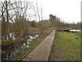
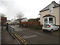
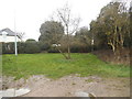
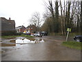
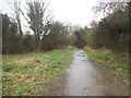
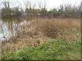
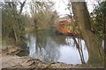
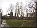
47 photos from this area
Area Information
Key information about the AL2 2HN including its size, population, and administrative classification.
- Area Type
- Postcode
- Area Size
- 8534 m²
- Population
- 1218
- Population Density
- 3280 people/km²
House Prices in AL2 2HN
12
Properties
£367,350
Average Sold Price
£133,000
Lowest Price
£740,000
Highest Price
Showing 12 properties
| Address | Type | Beds | Baths | Last Sale Price | Last Sale Date | |
|---|---|---|---|---|---|---|
| 78 Spooners Drive, Park Street, St Albans, AL2 2HN | Detached | 4 | 3 | £740,000 | Sep 2017 | |
| 66 Spooners Drive, Park Street, St Albans, AL2 2HN | Bungalow | 2 | 1 | £400,000 | May 2015 | |
| 62 Spooners Drive, Park Street, St Albans, AL2 2HN | Bungalow | 4 | - | £594,000 | Aug 2013 | |
| 76 Spooners Drive, Park Street, St Albans, AL2 2HN | Bungalow | 3 | - | £450,000 | Mar 2013 | |
| 76A Spooners Drive, Park Street, St Albans, AL2 2HN | Detached | 4 | 2 | £322,000 | May 2011 | |
| 70 Spooners Drive, Park Street, St Albans, AL2 2HN | Semi-detached | - | - | £360,000 | Apr 2007 | |
| 68 Spooners Drive, Park Street, St Albans, AL2 2HN | Semi-detached | - | - | £290,000 | Jan 2007 | |
| 72 Spooners Drive, Park Street, St Albans, AL2 2HN | Semi-detached | - | - | £248,500 | Mar 2004 | |
| 80 Spooners Drive, Park Street, St Albans, AL2 2HN | Semi-detached | - | - | £133,000 | Jun 1999 | |
| 64 Spooners Drive, Park Street, St Albans, AL2 2HN | Bungalow | - | - | £136,000 | Aug 1998 |
Page 1 of 2
Energy Efficiency in AL2 2HN
Amenities
Schools
| Rank | School | Type | Entry gender | Ages |
|---|
Explore more schools in this area
Go to Schools tabDemographics
Household Size
Family (3-5 people)
most common
Accommodation Type
Houses
most common
Tenure
62
majority
Ethnic Group
White
most common
Religion
N/A
most common
Household Composition
N/A
most common
Age
47
median
Adults (30-64 years)
most common
Household Deprivation
N/A
with no deprivation
NS-SEC
36
in Lower managerial occupations
Explore more demographic insights in this area
Go to Demographics tabPlanning
Planning Constraints
- Flood RiskPremium
- Ramsar Wetland SitesPremium
- Area of Outstanding Natural BeautyPremium
- Protected Nature ReservePremium
- Protected WoodlandPremium