Area Overview for AL10 9JE
Photos of AL10 9JE
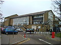
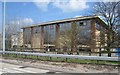
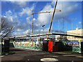
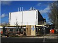

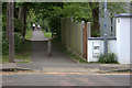
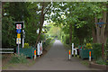
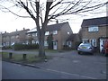
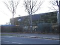
35 photos from this area
Area Information
Key information about the AL10 9JE including its size, population, and administrative classification.
- Area Type
- Postcode
- Area Size
- 8583 m²
- Population
- 2642
- Population Density
- 8038 people/km²
House Prices in AL10 9JE
35
Properties
£224,766
Average Sold Price
£79,995
Lowest Price
£435,000
Highest Price
Showing 35 properties
| Address | Type | Beds | Baths | Last Sale Price | Last Sale Date | |
|---|---|---|---|---|---|---|
| 4 Roe Hill Close, Hatfield, AL10 9JE | house | - | - | £380,000 | Apr 2024 | |
| 2 Roe Hill Close, Hatfield, AL10 9JE | house | - | - | £400,000 | Apr 2024 | |
| 10 Roe Hill Close, Hatfield, AL10 9JE | house | - | - | £435,000 | Dec 2022 | |
| 27 Roe Hill Close, Hatfield, AL10 9JE | Flat | - | - | £187,500 | Sep 2021 | |
| 21 Roe Hill Close, Hatfield, AL10 9JE | Maisonette | 2 | - | £230,000 | Nov 2018 | |
| 5 Roe Hill Close, Hatfield, AL10 9JE | house | 3 | - | £367,000 | Jul 2017 | |
| 23 Roe Hill Close, Hatfield, AL10 9JE | Flat | 2 | 1 | £235,000 | Nov 2016 | |
| 33 Roe Hill Close, Hatfield, AL10 9JE | Flat | - | - | £91,000 | Oct 2016 | |
| 35 Roe Hill Close, Hatfield, AL10 9JE | Flat | - | - | £256,000 | Jun 2016 | |
| 31 Roe Hill Close, Hatfield, AL10 9JE | Flat | - | - | £79,995 | Mar 2012 |
Page 1 of 4
Energy Efficiency in AL10 9JE
Amenities
Schools
| Rank | School | Type | Entry gender | Ages |
|---|
Explore more schools in this area
Go to Schools tabDemographics
Household Size
Family (3-5 people)
most common
Accommodation Type
Houses
most common
Tenure
48
majority
Ethnic Group
White
most common
Religion
N/A
most common
Household Composition
N/A
most common
Age
22
median
Young Adults (15-29 years)
most common
Household Deprivation
N/A
with no deprivation
NS-SEC
9
in Lower managerial occupations
Explore more demographic insights in this area
Go to Demographics tabPlanning
Planning Constraints
- Flood RiskPremium
- Ramsar Wetland SitesPremium
- Area of Outstanding Natural BeautyPremium
- Protected Nature ReservePremium
- Protected WoodlandPremium