Area Overview for AL10 9EQ
Photos of AL10 9EQ
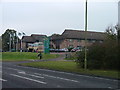
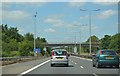

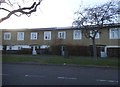
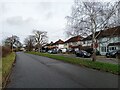
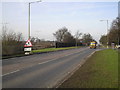
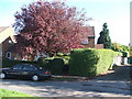
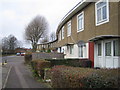
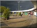
16 photos from this area
Area Information
Key information about the AL10 9EQ including its size, population, and administrative classification.
- Area Type
- Postcode
- Area Size
- 12.3 hectares
- Population
- 1375
- Population Density
- 7008 people/km²
House Prices in AL10 9EQ
42
Properties
£220,617
Average Sold Price
£165,000
Lowest Price
£357,100
Highest Price
Showing 42 properties
| Address | Type | Beds | Baths | Last Sale Price | Last Sale Date | |
|---|---|---|---|---|---|---|
| 37 Redhall Close, Hatfield, AL10 9EQ | Retail | 2 | 1 | £357,100 | Oct 2022 | |
| 43 Redhall Close, Hatfield, AL10 9EQ | house | - | - | £290,000 | Aug 2020 | |
| 40 Redhall Close, Hatfield, AL10 9EQ | Terraced | 2 | 1 | £261,500 | Mar 2019 | |
| 39 Redhall Close, Hatfield, AL10 9EQ | Terraced | 2 | - | £183,000 | Oct 2012 | |
| 41 Redhall Close, Hatfield, AL10 9EQ | house | 2 | - | £175,000 | Oct 2011 | |
| 42 Redhall Close, Hatfield, AL10 9EQ | house | 2 | - | £204,000 | Jul 2008 | |
| 34 Redhall Close, Hatfield, AL10 9EQ | Terraced | - | - | £183,950 | Aug 2007 | |
| 36 Redhall Close, Hatfield, AL10 9EQ | Terraced | - | - | £166,000 | Aug 2005 | |
| 38 Redhall Close, Hatfield, AL10 9EQ | Terraced | - | - | £165,000 | Mar 2005 | |
| 29 Redhall Close, Hatfield, AL10 9EQ | Flat | 1 | 1 | - | - |
Page 1 of 5
Energy Efficiency in AL10 9EQ
Amenities
Schools
| Rank | School | Type | Entry gender | Ages |
|---|
Explore more schools in this area
Go to Schools tabDemographics
Household Size
Family (3-5 people)
most common
Accommodation Type
Houses
most common
Tenure
38
majority
Ethnic Group
White
most common
Religion
N/A
most common
Household Composition
N/A
most common
Age
47
median
Adults (30-64 years)
most common
Household Deprivation
N/A
with no deprivation
NS-SEC
19
in Lower managerial occupations
Explore more demographic insights in this area
Go to Demographics tabPlanning
Planning Constraints
- Flood RiskPremium
- Ramsar Wetland SitesPremium
- Area of Outstanding Natural BeautyPremium
- Protected Nature ReservePremium
- Protected WoodlandPremium