Area Overview for AL10 8SG
Photos of AL10 8SG
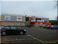
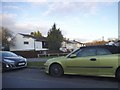
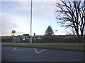
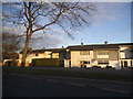
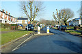
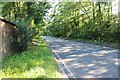
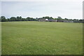
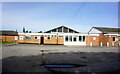
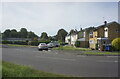
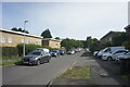
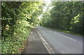
23 photos from this area
Area Information
Key information about the AL10 8SG including its size, population, and administrative classification.
- Area Type
- Postcode
- Area Size
- 9605 m²
- Population
- 2189
- Population Density
- 6170 people/km²
House Prices in AL10 8SG
16
Properties
£214,445
Average Sold Price
£151,950
Lowest Price
£318,000
Highest Price
Showing 16 properties
| Address | Type | Beds | Baths | Last Sale Price | Last Sale Date | |
|---|---|---|---|---|---|---|
| 98 Travellers Lane, Hatfield, AL10 8SG | house | - | - | £305,000 | Mar 2022 | |
| 114 Travellers Lane, Hatfield, AL10 8SG | Semi-detached | 3 | 1 | £318,000 | Sep 2019 | |
| 122 Travellers Lane, Hatfield, AL10 8SG | house | - | - | £257,000 | Mar 2019 | |
| 116 Travellers Lane, Hatfield, AL10 8SG | Terraced | 5 | 1 | £197,500 | Dec 2013 | |
| 106 Travellers Lane, Hatfield, AL10 8SG | Terraced | 3 | - | £204,000 | Jul 2012 | |
| 118 Travellers Lane, Hatfield, AL10 8SG | house | 6 | 2 | £188,000 | Sep 2011 | |
| 112 Travellers Lane, Hatfield, AL10 8SG | house | - | - | £151,950 | Sep 2008 | |
| 102 Travellers Lane, Hatfield, AL10 8SG | Terraced | 3 | 1 | £186,000 | Apr 2007 | |
| 92 Travellers Lane, Hatfield, AL10 8SG | Terraced | 3 | 1 | £178,000 | Jan 2004 | |
| 94 Travellers Lane, Hatfield, AL10 8SG | Terraced | - | - | £159,000 | Sep 2003 |
Page 1 of 2
Energy Efficiency in AL10 8SG
Amenities
Schools
| Rank | School | Type | Entry gender | Ages |
|---|
Explore more schools in this area
Go to Schools tabDemographics
Household Size
Family (3-5 people)
most common
Accommodation Type
Houses
most common
Tenure
47
majority
Ethnic Group
White
most common
Religion
N/A
most common
Household Composition
N/A
most common
Age
47
median
Adults (30-64 years)
most common
Household Deprivation
N/A
with no deprivation
NS-SEC
23
in Lower managerial occupations
Explore more demographic insights in this area
Go to Demographics tabPlanning
Planning Constraints
- Flood RiskPremium
- Ramsar Wetland SitesPremium
- Area of Outstanding Natural BeautyPremium
- Protected Nature ReservePremium
- Protected WoodlandPremium