Area Overview for AL10 0AH
Photos of AL10 0AH
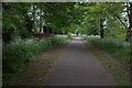
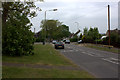
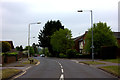
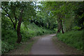
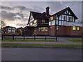
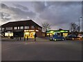
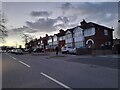
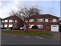
34 photos from this area
Area Information
Key information about the AL10 0AH including its size, population, and administrative classification.
- Area Type
- Postcode
- Area Size
- 2.1 hectares
- Population
- 1516
- Population Density
- 1182 people/km²
House Prices in AL10 0AH
40
Properties
£150,287
Average Sold Price
£60,000
Lowest Price
£265,000
Highest Price
Showing 40 properties
| Address | Type | Beds | Baths | Last Sale Price | Last Sale Date | |
|---|---|---|---|---|---|---|
| 78 Northfield, Hatfield, AL10 0AH | Flat | 2 | 1 | £265,000 | Sep 2023 | |
| 67 Northfield, Hatfield, AL10 0AH | Flat | 1 | 1 | £160,000 | Sep 2021 | |
| 61 Northfield, Hatfield, AL10 0AH | Flat | - | - | £207,293 | Apr 2021 | |
| 62 Northfield, Hatfield, AL10 0AH | Flat | - | - | £120,000 | Oct 2015 | |
| 45 Northfield, Hatfield, AL10 0AH | Flat | - | - | £141,000 | Sep 2013 | |
| 63 Northfield, Hatfield, AL10 0AH | Flat | - | - | £134,000 | Nov 2012 | |
| 48 Northfield, Hatfield, AL10 0AH | Flat | - | - | £115,000 | Oct 2002 | |
| 44 Northfield, Hatfield, AL10 0AH | Flat | - | - | £60,000 | Oct 1999 | |
| 52 Northfield, Hatfield, AL10 0AH | Flat | 2 | 1 | - | - | |
| 51 Northfield, Hatfield, AL10 0AH | Flat | - | - | - | - |
Page 1 of 4
Energy Efficiency in AL10 0AH
Amenities
Schools
| Rank | School | Type | Entry gender | Ages |
|---|
Explore more schools in this area
Go to Schools tabDemographics
Household Size
Family (3-5 people)
most common
Accommodation Type
Houses
most common
Tenure
55
majority
Ethnic Group
White
most common
Religion
N/A
most common
Household Composition
N/A
most common
Age
47
median
Adults (30-64 years)
most common
Household Deprivation
N/A
with no deprivation
NS-SEC
29
in Lower managerial occupations
Explore more demographic insights in this area
Go to Demographics tabPlanning
Planning Constraints
- Flood RiskPremium
- Ramsar Wetland SitesPremium
- Area of Outstanding Natural BeautyPremium
- Protected Nature ReservePremium
- Protected WoodlandPremium