Area Overview for AL1 5SA
Photos of AL1 5SA
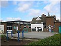
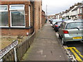
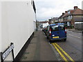
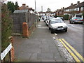
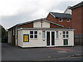
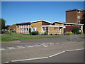
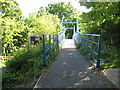
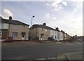
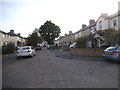
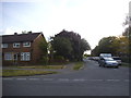
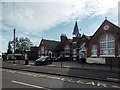
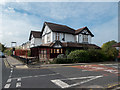
46 photos from this area
Area Information
Key information about the AL1 5SA including its size, population, and administrative classification.
- Area Type
- Postcode
- Area Size
- 8896 m²
- Population
- 1713
- Population Density
- 3847 people/km²
House Prices in AL1 5SA
22
Properties
£399,350
Average Sold Price
£233,000
Lowest Price
£555,000
Highest Price
Showing 22 properties
| Address | Type | Beds | Baths | Last Sale Price | Last Sale Date | |
|---|---|---|---|---|---|---|
| 26 Benbow Close, St Albans, AL1 5SA | Terraced | 2 | 1 | £450,000 | Jan 2024 | |
| 5 Benbow Close, St Albans, AL1 5SA | Semi-detached | 3 | 1 | £435,000 | Feb 2020 | |
| 2 Benbow Close, St Albans, AL1 5SA | Semi-detached | 3 | 2 | £555,000 | Mar 2018 | |
| 8 Benbow Close, St Albans, AL1 5SA | Semi-detached | 3 | 1 | £518,000 | Feb 2018 | |
| 12 Benbow Close, St Albans, AL1 5SA | Semi-detached | 3 | 1 | £515,000 | Aug 2017 | |
| 1 Benbow Close, St Albans, AL1 5SA | Semi-detached | 3 | 1 | £525,000 | Nov 2016 | |
| 20 Benbow Close, St Albans, AL1 5SA | house | 3 | - | £250,000 | Jan 2012 | |
| 3 Benbow Close, St Albans, AL1 5SA | Semi-detached | 3 | - | £265,000 | Jun 2010 | |
| 18 Benbow Close, St Albans, AL1 5SA | Semi-detached | - | - | £247,500 | Aug 2005 | |
| 22 Benbow Close, St Albans, AL1 5SA | Terraced | - | - | £233,000 | Oct 2002 |
Page 1 of 3
Energy Efficiency in AL1 5SA
Amenities
Schools
| Rank | School | Type | Entry gender | Ages |
|---|
Explore more schools in this area
Go to Schools tabDemographics
Household Size
Family (3-5 people)
most common
Accommodation Type
Houses
most common
Tenure
58
majority
Ethnic Group
White
most common
Religion
N/A
most common
Household Composition
N/A
most common
Age
47
median
Adults (30-64 years)
most common
Household Deprivation
N/A
with no deprivation
NS-SEC
38
in Lower managerial occupations
Explore more demographic insights in this area
Go to Demographics tabPlanning
Planning Constraints
- Flood RiskPremium
- Ramsar Wetland SitesPremium
- Area of Outstanding Natural BeautyPremium
- Protected Nature ReservePremium
- Protected WoodlandPremium