Area Overview for AL1 5JX
Photos of AL1 5JX
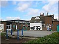
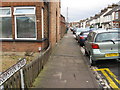
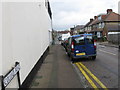
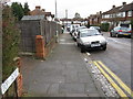
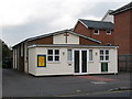
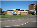
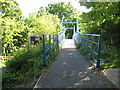
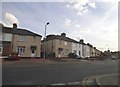
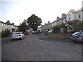
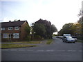
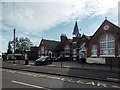
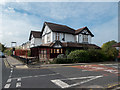
46 photos from this area
Area Information
Key information about the AL1 5JX including its size, population, and administrative classification.
- Area Type
- Postcode
- Area Size
- 6644 m²
- Population
- 1462
- Population Density
- 7797 people/km²
House Prices in AL1 5JX
17
Properties
£354,051
Average Sold Price
£87,500
Lowest Price
£871,260
Highest Price
Showing 17 properties
| Address | Type | Beds | Baths | Last Sale Price | Last Sale Date | |
|---|---|---|---|---|---|---|
| 17 Guildford Road, St Albans, AL1 5JX | Detached | 4 | 2 | £871,260 | Feb 2024 | |
| 35 Guildford Road, St Albans, AL1 5JX | Semi-detached | 4 | 2 | £585,000 | Mar 2021 | |
| 29 Guildford Road, St Albans, AL1 5JX | Bungalow | 3 | 1 | £475,000 | Nov 2020 | |
| 21 Guildford Road, St Albans, AL1 5JX | Semi-detached | 3 | - | £575,000 | Jan 2015 | |
| 27 Guildford Road, St Albans, AL1 5JX | house | 3 | 1 | £375,000 | Feb 2013 | |
| 33 Guildford Road, St Albans, AL1 5JX | Bungalow | 3 | - | £315,000 | Sep 2012 | |
| 7 Guildford Road, St Albans, AL1 5JX | Detached | 4 | 3 | £432,500 | Aug 2010 | |
| 13 Guildford Road, St Albans, AL1 5JX | Semi-detached | - | - | £435,000 | Dec 2008 | |
| 15 Guildford Road, St Albans, AL1 5JX | Detached | - | - | £332,000 | Jul 2008 | |
| 5A Guildford Road, St Albans, AL1 5JX | Maisonette | 3 | 1 | £125,000 | Dec 2007 |
Page 1 of 2
Energy Efficiency in AL1 5JX
Amenities
Schools
| Rank | School | Type | Entry gender | Ages |
|---|
Explore more schools in this area
Go to Schools tabDemographics
Household Size
Family (3-5 people)
most common
Accommodation Type
Houses
most common
Tenure
76
majority
Ethnic Group
White
most common
Religion
N/A
most common
Household Composition
N/A
most common
Age
47
median
Adults (30-64 years)
most common
Household Deprivation
N/A
with no deprivation
NS-SEC
53
in Lower managerial occupations
Explore more demographic insights in this area
Go to Demographics tabPlanning
Planning Constraints
- Flood RiskPremium
- Ramsar Wetland SitesPremium
- Area of Outstanding Natural BeautyPremium
- Protected Nature ReservePremium
- Protected WoodlandPremium