Area Overview for AL1 5DE
Photos of AL1 5DE
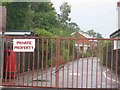
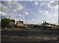
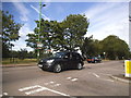
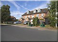
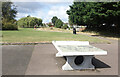
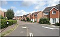
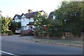
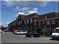
25 photos from this area
Area Information
Key information about the AL1 5DE including its size, population, and administrative classification.
- Area Type
- Postcode
- Area Size
- 1.7 hectares
- Population
- 1762
- Population Density
- 5597 people/km²
House Prices in AL1 5DE
16
Properties
£361,500
Average Sold Price
£220,000
Lowest Price
£487,500
Highest Price
Showing 16 properties
| Address | Type | Beds | Baths | Last Sale Price | Last Sale Date | |
|---|---|---|---|---|---|---|
| 99 Ashley Road, St Albans, AL1 5DE | Semi-detached | 4 | 2 | £487,500 | Aug 2019 | |
| 96 Ashley Road, St Albans, AL1 5DE | Terraced | 3 | - | £415,000 | Nov 2016 | |
| 103 Ashley Road, St Albans, AL1 5DE | Maisonette | 2 | 1 | £220,000 | Nov 2014 | |
| 97 Ashley Road, St Albans, AL1 5DE | house | 4 | - | £305,000 | May 2012 | |
| 94 Ashley Road, St Albans, AL1 5DE | Semi-detached | - | - | £380,000 | Mar 2008 | |
| Abbey Astar Cars, Offices At, 105 Ashley Road, St Albans, AL1 5DE | Office | - | - | - | - | |
| Suite 1, 105 Ashley Road, St Albans, AL1 5DE | Office | - | - | - | - | |
| 95 Ashley Road, St Albans, AL1 5DE | Terraced | - | - | - | - | |
| 93 Ashley Road, St Albans, AL1 5DE | Semi-detached | - | - | - | - | |
| 98 Ashley Road, St Albans, AL1 5DE | Terraced | - | - | - | - |
Page 1 of 2
Energy Efficiency in AL1 5DE
Amenities
Schools
| Rank | School | Type | Entry gender | Ages |
|---|
Explore more schools in this area
Go to Schools tabDemographics
Household Size
Family (3-5 people)
most common
Accommodation Type
Houses
most common
Tenure
74
majority
Ethnic Group
White
most common
Religion
N/A
most common
Household Composition
N/A
most common
Age
47
median
Adults (30-64 years)
most common
Household Deprivation
N/A
with no deprivation
NS-SEC
55
in Lower managerial occupations
Explore more demographic insights in this area
Go to Demographics tabPlanning
Planning Constraints
- Flood RiskPremium
- Ramsar Wetland SitesPremium
- Area of Outstanding Natural BeautyPremium
- Protected Nature ReservePremium
- Protected WoodlandPremium