Area Overview for AL1 5AW
Photos of AL1 5AW
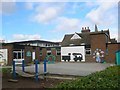
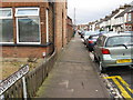
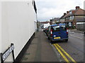
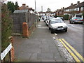
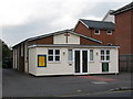
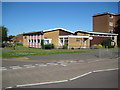
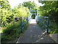
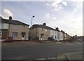
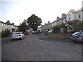
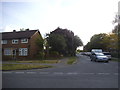
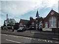
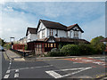
46 photos from this area
Area Information
Key information about the AL1 5AW including its size, population, and administrative classification.
- Area Type
- Postcode
- Area Size
- 9942 m²
- Population
- 1578
- Population Density
- 5809 people/km²
House Prices in AL1 5AW
26
Properties
£388,900
Average Sold Price
£113,500
Lowest Price
£565,000
Highest Price
Showing 26 properties
| Address | Type | Beds | Baths | Last Sale Price | Last Sale Date | |
|---|---|---|---|---|---|---|
| 145 Drakes Drive, St Albans, AL1 5AW | Terraced | 3 | 1 | £535,000 | Jan 2025 | |
| 153 Drakes Drive, St Albans, AL1 5AW | Semi-detached | 4 | 1 | £499,500 | Apr 2024 | |
| 159 Drakes Drive, St Albans, AL1 5AW | Terraced | 3 | 1 | £565,000 | Jan 2023 | |
| 157 Drakes Drive, St Albans, AL1 5AW | house | 2 | - | £425,000 | Jan 2021 | |
| 115 Drakes Drive, St Albans, AL1 5AW | house | - | - | £365,000 | Sep 2019 | |
| 147 Drakes Drive, St Albans, AL1 5AW | Terraced | 2 | 1 | £400,000 | Mar 2018 | |
| 121 Drakes Drive, St Albans, AL1 5AW | Semi-detached | 3 | 1 | £425,000 | Jan 2015 | |
| 131 Drakes Drive, St Albans, AL1 5AW | house | - | - | £172,100 | Nov 2001 | |
| 139 Drakes Drive, St Albans, AL1 5AW | Semi-detached | - | - | £113,500 | Oct 1997 | |
| 113 Drakes Drive, St Albans, AL1 5AW | Terraced | 2 | 1 | - | - |
Page 1 of 3
Energy Efficiency in AL1 5AW
Amenities
Schools
| Rank | School | Type | Entry gender | Ages |
|---|
Explore more schools in this area
Go to Schools tabDemographics
Household Size
Family (3-5 people)
most common
Accommodation Type
Houses
most common
Tenure
45
majority
Ethnic Group
White
most common
Religion
N/A
most common
Household Composition
N/A
most common
Age
47
median
Adults (30-64 years)
most common
Household Deprivation
N/A
with no deprivation
NS-SEC
35
in Lower managerial occupations
Explore more demographic insights in this area
Go to Demographics tabPlanning
Planning Constraints
- Flood RiskPremium
- Ramsar Wetland SitesPremium
- Area of Outstanding Natural BeautyPremium
- Protected Nature ReservePremium
- Protected WoodlandPremium