Area Overview for AL1 3UJ
Photos of AL1 3UJ
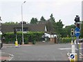
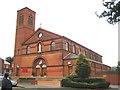
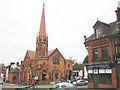
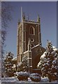
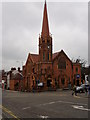

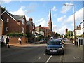
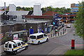
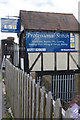
100 photos from this area
Area Information
Key information about the AL1 3UJ including its size, population, and administrative classification.
- Area Type
- Postcode
- Area Size
- 3686 m²
- Population
- 2191
- Population Density
- 4948 people/km²
House Prices in AL1 3UJ
18
Properties
£653,275
Average Sold Price
£315,000
Lowest Price
£931,123
Highest Price
Showing 18 properties
| Address | Type | Beds | Baths | Last Sale Price | Last Sale Date | |
|---|---|---|---|---|---|---|
| 20 Liverpool Road, St Albans, AL1 3UJ | house | - | - | £931,123 | Oct 2025 | |
| 22 Liverpool Road, St Albans, AL1 3UJ | house | 3 | 1 | £795,000 | Jun 2025 | |
| 26 Liverpool Road, St Albans, AL1 3UJ | house | - | - | £830,000 | Apr 2022 | |
| 18 Liverpool Road, St Albans, AL1 3UJ | house | - | - | £850,000 | Aug 2021 | |
| 32 Liverpool Road, St Albans, AL1 3UJ | Semi-detached | 3 | - | £720,000 | Jul 2020 | |
| 24 Liverpool Road, St Albans, AL1 3UJ | house | 4 | 2 | £800,000 | Jan 2020 | |
| 14 Liverpool Road, St Albans, AL1 3UJ | Terraced | 3 | 1 | £655,000 | Apr 2018 | |
| 10 Liverpool Road, St Albans, AL1 3UJ | house | 3 | 1 | £797,000 | Sep 2017 | |
| 4 Liverpool Road, St Albans, AL1 3UJ | Semi-detached | 3 | 1 | £800,000 | May 2017 | |
| 34 Liverpool Road, St Albans, AL1 3UJ | house | 3 | 1 | £645,000 | Dec 2016 |
Page 1 of 2
Energy Efficiency in AL1 3UJ
Amenities
Schools
| Rank | School | Type | Entry gender | Ages |
|---|
Explore more schools in this area
Go to Schools tabDemographics
Household Size
One person
most common
Accommodation Type
Flats
most common
Tenure
38
majority
Ethnic Group
White
most common
Religion
N/A
most common
Household Composition
N/A
most common
Age
47
median
Adults (30-64 years)
most common
Household Deprivation
N/A
with no deprivation
NS-SEC
53
in Lower managerial occupations
Explore more demographic insights in this area
Go to Demographics tabPlanning
Planning Constraints
- Flood RiskPremium
- Ramsar Wetland SitesPremium
- Area of Outstanding Natural BeautyPremium
- Protected Nature ReservePremium
- Protected WoodlandPremium