Area Overview for AL1 2NL
Photos of AL1 2NL
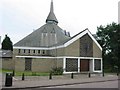
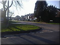
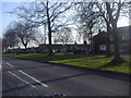
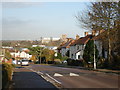
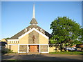
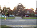
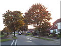
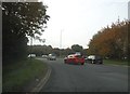
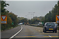
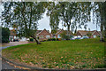
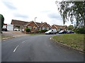
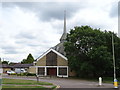
32 photos from this area
Area Information
Key information about the AL1 2NL including its size, population, and administrative classification.
- Area Type
- Postcode
- Area Size
- 1.4 hectares
- Population
- 1380
- Population Density
- 3666 people/km²
House Prices in AL1 2NL
40
Properties
£247,328
Average Sold Price
£25,000
Lowest Price
£470,000
Highest Price
Showing 40 properties
| Address | Type | Beds | Baths | Last Sale Price | Last Sale Date | |
|---|---|---|---|---|---|---|
| 83 Tavistock Avenue, St Albans, AL1 2NL | Maisonette | 2 | 1 | £375,000 | Jul 2025 | |
| 89 Tavistock Avenue, St Albans, AL1 2NL | Maisonette | 2 | 1 | £375,000 | Mar 2025 | |
| 131 Tavistock Avenue, St Albans, AL1 2NL | Terraced | 3 | 1 | £470,000 | Feb 2025 | |
| 75 Tavistock Avenue, St Albans, AL1 2NL | Maisonette | 2 | 1 | £370,000 | Oct 2023 | |
| 117 Tavistock Avenue, St Albans, AL1 2NL | Maisonette | - | - | £350,000 | Dec 2021 | |
| 99 Tavistock Avenue, St Albans, AL1 2NL | Maisonette | 2 | 1 | £325,000 | Aug 2021 | |
| 105 Tavistock Avenue, St Albans, AL1 2NL | Maisonette | - | - | £338,000 | Jul 2021 | |
| 129 Tavistock Avenue, St Albans, AL1 2NL | Terraced | 3 | - | £435,000 | Jan 2021 | |
| 111 Tavistock Avenue, St Albans, AL1 2NL | Flat | 2 | 1 | £305,000 | Apr 2019 | |
| 113 Tavistock Avenue, St Albans, AL1 2NL | Flat | 2 | 1 | £358,000 | Oct 2018 |
Page 1 of 4
Energy Efficiency in AL1 2NL
Amenities
Schools
| Rank | School | Type | Entry gender | Ages |
|---|
Explore more schools in this area
Go to Schools tabDemographics
Household Size
Family (3-5 people)
most common
Accommodation Type
Houses
most common
Tenure
44
majority
Ethnic Group
White
most common
Religion
N/A
most common
Household Composition
N/A
most common
Age
47
median
Adults (30-64 years)
most common
Household Deprivation
N/A
with no deprivation
NS-SEC
30
in Lower managerial occupations
Explore more demographic insights in this area
Go to Demographics tabPlanning
Planning Constraints
- Flood RiskPremium
- Ramsar Wetland SitesPremium
- Area of Outstanding Natural BeautyPremium
- Protected Nature ReservePremium
- Protected WoodlandPremium