Area Overview for AL1 1HF
Photos of AL1 1HF
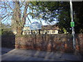
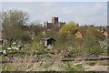
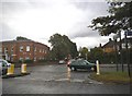
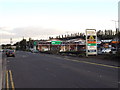
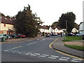
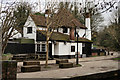
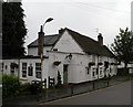
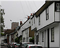
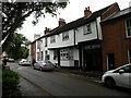
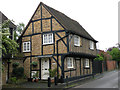
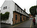
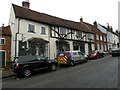
100 photos from this area
Area Information
Key information about the AL1 1HF including its size, population, and administrative classification.
- Area Type
- Postcode
- Area Size
- 8438 m²
- Population
- 1453
- Population Density
- 6320 people/km²
House Prices in AL1 1HF
22
Properties
£661,784
Average Sold Price
£277,500
Lowest Price
£1,149,989
Highest Price
Showing 22 properties
| Address | Type | Beds | Baths | Last Sale Price | Last Sale Date | |
|---|---|---|---|---|---|---|
| 71 Holywell Hill, St Albans, AL1 1HF | Semi-detached | 3 | 1 | £610,000 | Jan 2020 | |
| 77A Holywell Hill, St Albans, AL1 1HF | Flat | - | - | £1,149,989 | Nov 2019 | |
| 61 Holywell Hill, St Albans, AL1 1HF | Terraced | 3 | - | £900,000 | Feb 2017 | |
| 67 Holywell Hill, St Albans, AL1 1HF | Terraced | 4 | 2 | £560,000 | Sep 2015 | |
| 75 Holywell Hill, St Albans, AL1 1HF | house | 5 | - | £735,000 | Dec 2011 | |
| 63 Holywell Hill, St Albans, AL1 1HF | Terraced | 3 | 2 | £400,000 | Feb 2004 | |
| 65 Holywell Hill, St Albans, AL1 1HF | Terraced | - | - | £277,500 | Mar 2001 | |
| Flat 11, Nexus Court, 79 Holywell Hill, St Albans, AL1 1HF | Flat | 2 | 2 | - | - | |
| Flat 7, Nexus Court, 79 Holywell Hill, St Albans, AL1 1HF | Flat | 2 | 2 | - | - | |
| 73 Holywell Hill, St Albans, AL1 1HF | Detached | 2 | 1 | - | - |
Page 1 of 3
Energy Efficiency in AL1 1HF
Amenities
Schools
| Rank | School | Type | Entry gender | Ages |
|---|
Explore more schools in this area
Go to Schools tabDemographics
Household Size
One person
most common
Accommodation Type
Flats
most common
Tenure
50
majority
Ethnic Group
White
most common
Religion
N/A
most common
Household Composition
N/A
most common
Age
47
median
Adults (30-64 years)
most common
Household Deprivation
N/A
with no deprivation
NS-SEC
60
in Lower managerial occupations
Explore more demographic insights in this area
Go to Demographics tabPlanning
Planning Constraints
- Flood RiskPremium
- Ramsar Wetland SitesPremium
- Area of Outstanding Natural BeautyPremium
- Protected Nature ReservePremium
- Protected WoodlandPremium