Area Overview for Wreake Valley Ward
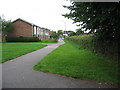
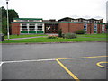
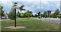
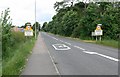
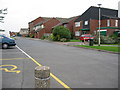
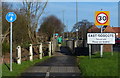
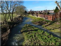
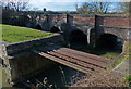
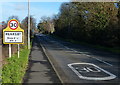
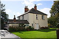
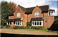
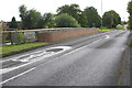
Photos of Wreake Valley Ward
Area Information
You will find a quiet and spacious setting in Wreake Valley Ward, a district council ward within Charnwood Borough Council in the East Midlands. This area covers 40.9 square kilometres and sits in Leicestershire with coordinates near 52.717069, -1.041469. The community is characterised by a very low population density of just 71 people per square kilometre. You can expect a sparse neighbourhood spread across this substantial 40.9 km² expanse. Life here revolves around a small resident population of roughly 2,892 individuals. This ward operates independently as a single electoral division, offering a sense of defined locality without the congestion of larger urban centres. The rural nature of the land means daily life is slower and more detached from city centres. You are entering an environment where space is the primary feature rather than density. This 409-hectare area provides ample room for individual homes and gardens. The distinct identity of Wreake Valley Ward comes from this easy access to open space combined with its specific administrative status under the district council.
- Area Type
- District Borough Unitary Ward
- Area Size
- 40.9 km²
- Population
- 2892
- Population Density
- 71 people/km²
Demographics
The community profile of Wreake Valley Ward reflects a mature living pattern. The median age stands at exactly 70 years, indicating this ward comprises an older demographic. Most residents fall into older age brackets rather than young families or working-age groups. You will find a home ownership rate of 81 per cent, which is significantly high for any region. This statistic confirms that the vast majority of households within this 2,892-person ward own their property outright or have a mortgage. There are very few private rental properties available compared to owner-occupied homes. While specific data on the most common age range, household composition types, predominant ethnic groups, and religious affiliations are not broken out in the current figures, the high ownership rate suggests long-term stability. You are likely to meet neighbours who have lived here for decades. This ownership structure means the area is not a transient rental market. The low population density further supports a lifestyle where residents interact within a tight-knit circle of homeowners.
Household Size
Accommodation Type
Tenure
Ethnic Group
Religion
Household Composition
Age
Household Deprivation
NS-SEC
Explore more demographic insights in this area
Go to Demographics tabPlanning
Planning Constraints
- Flood RiskPremium
- Ramsar Wetland SitesPremium
- Area of Outstanding Natural BeautyPremium
- Protected Nature ReservePremium
- Protected WoodlandPremium
- Crime RiskPremium