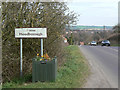
Area Overview for Woodborough
Photos of Woodborough
Area Information
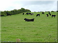
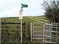
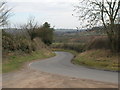
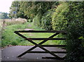
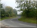
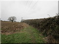
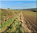
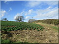
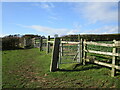
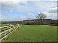
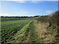
Woodborough is a civil parish located in the Gedling district of Nottinghamshire, covering an area of 7.9 km². You will find the village defined by a distinctive long, winding shape determined by a narrow, fertile valley through which flows a tiny brook. This settlement nestles in a shallow fertile valley surrounded on three sides by rolling wooded hills. The geography is marked by a brook flanked on either side by tree-clad hills, with the highest point reaching 125 metres above sea level. History runs deep here; the Domesday Book names this site Udeburg, meaning the fortress in the woods. Anglo-Saxons established a settlement in the thickly wooded vale, and by 1736 the village had founded its first school through an endowment from Reverend Mountague Wood. You will encounter significant historical structures like Woodborough Hall, which operates as a restaurant and stands at the western end of the village. Life here involves a strong sense of community where residents host annual events ranging from the village fete to the Christmas lights switch-on. Living in Woodborough means engaging with a charming village environment that blends picturesque landscapes, rich heritage, and a warm, welcoming community atmosphere.
- Area Type
- Parish
- Area Size
- 7.9 km²
- Population
- Not available
- Population Density
- Not available
Demographics
The community profile in Woodborough reflects a largely settled population with a median age of 70. This high median age indicates that the village caters primarily to older residents rather than young families or students. While the data does not specify the split for the most common age range beyond stating Age: Total, the overall demographic weight is clearly towards older demographics. You will find that 76% of households in Woodborough are owner-occupied. This high level of home ownership suggests a stable community where residents have a long-term stake in the village. The data does not provide specific breakdowns for household composition, accommodation types, predominant ethnic groups, or religion, but the 76% ownership figure underscores the nature of the local housing market. For those considering moving here, expect a neighbourhood where the majority of homes are held by owners rather than landlords. The demographic makeup points towards a quiet retirement location or a place where families have stayed for decades. Living in Woodborough involves joining a community where ownership is the norm, fostering a sense of permanence and local investment in the area's long-term custodianship.
Household Size
Accommodation Type
Tenure
Ethnic Group
Religion
Household Composition
Age
Household Deprivation
NS-SEC
Explore more demographic insights in this area
Go to Demographics tabPlanning
Planning Constraints
- Flood RiskPremium
- Ramsar Wetland SitesPremium
- Area of Outstanding Natural BeautyPremium
- Protected Nature ReservePremium
- Crime RiskPremium