Area Overview for Whittington Moor Ward
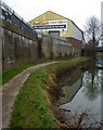
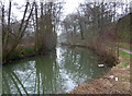
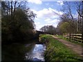
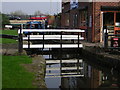
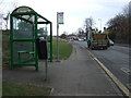
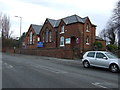
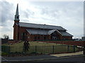
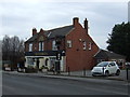
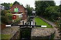
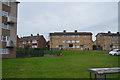
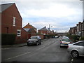
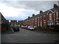
Photos of Whittington Moor Ward
Area Information
Whittington Moor Ward is a compact district covering just 1.7 square kilometres. You find this ward within a larger borough structure in England, offering a small-scale living environment where proximity matters. The area defines itself through its limited footprint, which suggests a walkable or closely knit community layout. Living here means navigating a small geographic space where facilities and neighbours likely operate within immediate view. This restriction in size often appeals to those seeking a contained residential sphere rather than sprawling suburbs. The character of this ward is shaped by its distinct boundaries and compactness. A small area like Whittington Moor Ward frequently develops a strong sense of locality because residents interact within a short distance. You can imagine daily commences involve shorter travel times between your home, local shops, and public services. The 1.7 square kilometre span implies that walking to key destinations may be feasible, reducing reliance on motorised transport for minor errands. This physical constraint creates a neighbourhood where the destination is never far away. Residents accepted this reality by shaping the built environment over time. The district represents a specific slice of local history and planning. Whittington Moor Ward stands as a defined administrative unit within the wider county framework. Its small size allows for a focused approach to community management and local governance. You move through this space where every route and square metre holds significance. This concentration of land defines the pace and rhythm of life for everyone calling this ward home.
- Area Type
- District Borough Unitary Ward
- Area Size
- 1.7 km²
- Population
- Not available
- Population Density
- Not available
Demographics
The people living in Whittington Moor Ward have an average age of 70 years. This median figure indicates a community dominated by older residents rather than young families or working professionals. Half of the population falls below this mark, creating an environment where retirement security and elderly care likely matter most. You will not find a youthful demographic driving the local culture here; instead, the social rhythm follows the needs of those approaching or in retirement. Home ownership accounts for 50% of the households in this area. Exactly half of the residents own their property while the other half rents. This split demonstrates a balanced market where neither outright ownership nor renting completely dominates the landscape. It means you encounter a stable population base alongside those seeking flexibility. The higher proportion of owners often suggests stability, yet the equal presence of tenants keeps the community dynamic. Diversity and religion data appear as total figures without specific breakdowns provided in available records. Similarly, household composition remains recorded at a total level without detailed age or dependency splits. You cannot determine the exact mix of single-person households, families, or couples from the current statistics. The area presents as a settled environment where the majority are well into their senior years. This demographic profile shapes everything from local shop offerings to community centres.
Household Size
Accommodation Type
Tenure
Ethnic Group
Religion
Household Composition
Age
Household Deprivation
NS-SEC
Explore more demographic insights in this area
Go to Demographics tabPlanning
Planning Constraints
- Flood RiskPremium
- Ramsar Wetland SitesPremium
- Area of Outstanding Natural BeautyPremium
- Protected Nature ReservePremium
- Protected WoodlandPremium
- Crime RiskPremium