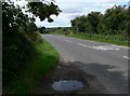
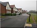
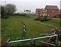
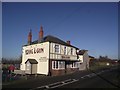
Area Overview for Whetstone
Photos of Whetstone

Area Information
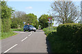
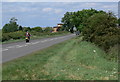
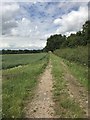
Whetstone is a civil parish covering an area of 8.5 square kilometres. This size creates a compact neighbourhood where residents can walk to many essential services without relying heavily on vehicles. The locality sits within the broader London landscape, offering a distinct character defined by its historical roots and residential focus. Living in Whetstone means experiencing an environment where the pace of life allows for connection among neighbours while maintaining a sense of space. The physical boundaries of the parish define a clear community unit where daily routines revolve around local amenities. You will find that the scale of the area supports a walkable lifestyle, making it suitable for those who prefer to explore their surroundings on foot. The layout fosters a sense of belonging, as the streets and properties form a cohesive unit. This specific geographical footprint contributes to the identity of the place, distinguishing it from larger, more fragmented urban zones. Your daily life here is shaped by these defined boundaries, which encourage local interaction and community cohesion.
- Area Type
- Parish
- Area Size
- 8.5 km²
- Population
- Not available
- Population Density
- Not available
Demographics
The community in Whetstone presents a clear demographic profile centred around older residents. The median age for the population is exactly 70 years, indicating that ageing families and retirees form the core of the neighbourhood. This age structure suggests a quiet, settled environment where life moves at a gentler pace compared to younger urban districts. Home ownership levels are high, with 75 per cent of households owning their properties. This level of ownership typically stabilises the community, as long-term residents are less likely to relocate frequently. You will find a household population that has matured over decades, creating stability within the parish boundaries. The accommodation types reflect this settled nature, aligning with the needs of an older, property-secure demographic. Although specific figures on household composition categories are not detailed, the overall data points to a consistent age range across the total population. This demographic consistency influences local shops, clubs, and social activities to cater primarily to mature interests. Living here means sharing space with neighbours who have likely built deep roots in the area over many years.
Household Size
Accommodation Type
Tenure
Ethnic Group
Religion
Household Composition
Age
Household Deprivation
NS-SEC
Explore more demographic insights in this area
Go to Demographics tabPlanning
Planning Constraints
- Flood RiskPremium
- Ramsar Wetland SitesPremium
- Area of Outstanding Natural BeautyPremium
- Protected Nature ReservePremium
- Protected WoodlandPremium