Area Overview for Whaplode and Holbeach St. John's Ward
Photos of Whaplode and Holbeach St. John's Ward
Area Information
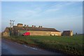
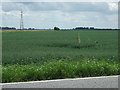
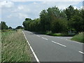
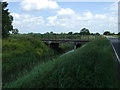
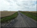
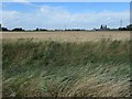
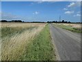
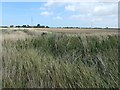
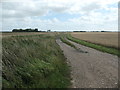
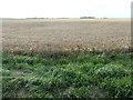
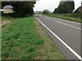
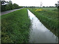
Whaplode and Holbeach St. John's Ward covers a significant portion of the local landscape, spanning 64.1 square kilometres within the borough unitary structure. Living in this district means navigating a rural setting where space is defined by its size rather than dense urban planning. The area functions as a distinct community unit within England, offering residents a wide footprint for land and property development. Your daily life here is shaped by the reality of this large geographical area, which influences commute times and access to services. While specific village boundaries are not detailed in the current overview, the ward name itself points to two key settlements that define the local identity. You are settling into an environment where the scale of the territory matters significantly for anyone planning their long-term routine. The distinction between these locations creates a unique living experience that differs from typical town centres or isolated countryside plots. Understanding the geography is the first step to comprehending what makes homes in Whaplode and Holbeach St. John's Ward function the way they do.
- Area Type
- District Borough Unitary Ward
- Area Size
- 64.1 km²
- Population
- Not available
- Population Density
- Not available
Demographics
The community within Whaplode and Holbeach St. John's Ward shows a clear demographic profile focused on older residents. The median age stands at 70 years, indicating that the average household head belongs to this senior age bracket. This figure captures the essence of the population, as the most common age range reported is simply Age: Total, reflecting a homogeneous group. You will find that neighbours in this ward are likely to be in similar life stages compared to younger urban districts. The breakdown of household composition and accommodation types follows the total category pattern established elsewhere in the data. An impressive 81 per cent of residents own their homes outright, which is a striking statistic for such a rural ward. This high ownership rate suggests deep-rooted families who have stayed for decades rather than renting temporarily. The dominance of this ownership figure shapes the local culture and economic stability of the area. There is no data provided on predominant ethnic groups or religious affiliations, but the age factor remains the primary descriptor of the local demographic landscape.
Household Size
Accommodation Type
Tenure
Ethnic Group
Religion
Household Composition
Age
Household Deprivation
NS-SEC
Explore more demographic insights in this area
Go to Demographics tabPlanning
Planning Constraints
- Flood RiskPremium
- Ramsar Wetland SitesPremium
- Area of Outstanding Natural BeautyPremium
- Protected Nature ReservePremium
- Protected WoodlandPremium
- Crime RiskPremium