Area Overview for Weston upon Trent
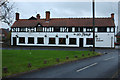
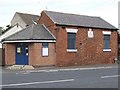
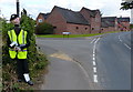
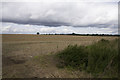
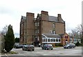
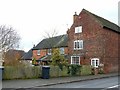
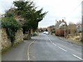
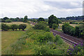
Photos of Weston upon Trent


Area Information
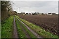
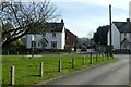
Living in Weston upon Trent offers a distinct experience defined by its small scale and established character. This civil parish covers an area of just 8.0 km², meaning the locality is compact and close-knit. You will find a setting that is appropriate for those who prioritise a quiet, contained environment over sprawling suburbs. The area is situated in England and functions as a self-contained community where residents know their neighbours. Daily life here revolves around local amenities and established routines rather than long commutes across unfamiliar terrain. You can explore the parish on foot or by bicycle due to its manageable footprint. The physical boundaries create a clear sense of who belongs, fostering a neighbourhood where community interactions are frequent and familiar. Prospective buyers often value the sheer size of the parish as it implies reduced traffic and lower noise levels compared to larger municipalities. You are looking at a specific, defined space where the pace of life remains steady. The size ensures that the community stays intimate without feeling overcrowded. This distinctiveness appeals to those seeking a home life centred on stability and local knowledge.
- Area Type
- Parish
- Area Size
- 8.0 km²
- Population
- Not available
- Population Density
- Not available
Demographics
The community in Weston upon Trent presents a clear demographic profile characterised by an older population. The median age stands at 70 years, indicating that the vast majority of residents are senior citizens. This age distribution shapes the social fabric and the types of local services the area requires. With a median age of 70, the area provides a retirement-oriented atmosphere rather than a family-centric hub. Most individuals living here fall within the older age demographic, which influences how public spaces are used and what shops might favour. You will notice a community where elderly couples and retirees form the backbone of society. The household composition reflects this reality, with families consisting of older generations rather than young children. The area lacks a significant youth population, which means you are likely to encounter quiet streets during school hours. Understanding this age split helps you assess whether the local culture aligns with your lifestyle preferences. If you are seeking an active social scene driven by families, the demographics suggest a different priority. However, for those wishing to relocate to a community dominated by mature residents, Weston upon Trent fits that description precisely.
Household Size
Accommodation Type
Tenure
Ethnic Group
Religion
Household Composition
Age
Household Deprivation
NS-SEC
Explore more demographic insights in this area
Go to Demographics tabPlanning
Planning Constraints
- Flood RiskPremium
- Ramsar Wetland SitesPremium
- Area of Outstanding Natural BeautyPremium
- Protected Nature ReservePremium
- Protected WoodlandPremium
- Crime RiskPremium