Area Overview for West Drayton
Photos of West Drayton
Area Information
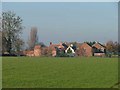
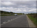
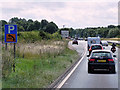
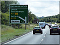
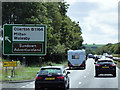
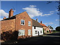
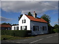
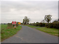
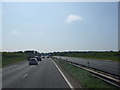
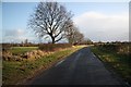
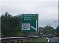
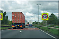
West Drayton is a small civil parish covering 3.9 square kilometres in west London. It operates as a distinct settlement within the larger Uxbridge and Hayes area. The community has remained relatively intimate in scale while maintaining strong links to nearby transport hubs. Residents here enjoy a suburban setting that balances proximity to the city with a slower pace of life. You will find that daily routines often involve short drives or walks to access local shops and services. The parish does not contain major commercial districts, meaning your social and retail life likely centres on Uxbridge or West Drayton High Street. This location appeals to those who want a residential base without the density of inner London boroughs. The area sits close to the M4 motorway, which connects you easily to Heathrow Airport and central business districts. You can reach key employment zones in under thirty minutes depending on your starting point. The landscape features a mix of green spaces and established residential streets. There are no protected nature reserves or housing constraints within the parish boundaries. This flexibility allows for straightforward planning and development where infrastructure supports growth. Living in West Drayton offers a straightforward suburban experience with practical connectivity options. You trade the immediate vibrancy of a high street for greater quiet in your immediate neighbourhood context.
- Area Type
- Parish
- Area Size
- 3.9 km²
- Population
- Not available
- Population Density
- Not available
Demographics
The population profile in West Drayton skews significantly towards older residents. The median age stands at 70 years, indicating a mature community where many households consist of retirees or established families. Age range data confirms that the total population spans the full spectrum, though older demographics dominate the count. You are unlikely to find a youthful, transient population as you might in university towns. Home ownership is the primary mode of accommodation, reaching a substantial 74 per cent of all households. This figure suggests a stable community with long-term residents who have invested in their properties. The remaining 26 per cent of households are likely rented or living in other tenure arrangements. Household composition reflects the median age, with fewer single-person households driven by young adults and more multi-generational or empty-nester setups. Ethnic diversity and religious affiliation data are not specified in local records for this parish. Instead, the community is defined by its tenure stability and age demographics. This demographic structure influences local service demand, particularly around healthcare and leisure facilities suitable for older adults. Deprivation levels are not listed in the current assessment data, so quality of life is better gauged through ownership rates and age distribution. The high ownership percentage implies residents have rooted themselves in West Drayton and are less likely to move frequently.
Household Size
Accommodation Type
Tenure
Ethnic Group
Religion
Household Composition
Age
Household Deprivation
NS-SEC
Explore more demographic insights in this area
Go to Demographics tabPlanning
Planning Constraints
- Flood RiskPremium
- Ramsar Wetland SitesPremium
- Area of Outstanding Natural BeautyPremium
- Protected Nature ReservePremium
- Protected WoodlandPremium
- Crime RiskPremium