Area Overview for Towcester and Roade Ward
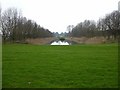
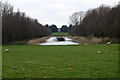
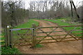
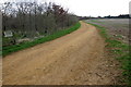
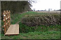
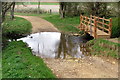
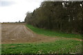
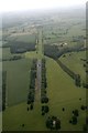
Photos of Towcester and Roade Ward
Area Information
Living in Towcester and Roade Ward offers a defined sense of place within the East Midlands. This unitary authority ward in West Northamptonshire covers an area of 44.3 kilometres, forming a compact community shaped by its local geography. The ward encompasses the towns of Towcester and the village of Roade, creating a clear boundary for local government and daily life. Its total population stands at 3,084 residents, making it a relatively small but established neighbourhood. You will find the ward situated at coordinates 52.14234043065018, -0.9567140454952292, providing a specific location for your search. The area functions as a distinct residential zone where the character of the town and village coexist under one electoral division. While boundary changes occurred in 2025, the physical area remains consistent for property and lifestyle planning. This location serves those who prefer a defined community footprint rather than sprawling districts. The population density here creates a neighbourhood feel that is intimate yet settled. Prospective buyers can clearly understand the scale of their potential new home. The ward represents a stable environment where local identity ties closely to the specific towns of Towcester and Roade.
- Area Type
- District Borough Unitary Ward
- Area Size
- 44.3 km²
- Population
- 3084
- Population Density
- 70 people/km²
Demographics
The community within Towcester and Roade Ward reflects a population with specific and clear characteristics. You will find that 72 per cent of households in the ward are owner-occupied homes. This high level of home ownership suggests a settled population where many residents have long-term ties to the area. The demographic profile shows a median age of 70 years across the total population. This figure indicates that the ward contains a significantly older resident base compared to national averages. The household composition data is recorded for the total population, reflecting the makeup of families and individuals currently residing in homes throughout the ward. Accommodation types are tracked for the total area, ensuring a complete picture of living spaces available within the 44.3 square kilometres. The ethnicity data is recorded for the total population, providing a baseline for the diversity of the community. Religious affiliation is also tracked for the total ward, offering insight into the cultural fabric of the neighbourhood. These statistics paint a picture of a mature community. With over two-thirds of residents owning their homes, the area feels stable and established. The older median age means neighbours are likely to value quiet and stability. Understanding these demographics is essential when considering what to expect from living in Towcester and Roade Ward.
Household Size
Accommodation Type
Tenure
Ethnic Group
Religion
Household Composition
Age
Household Deprivation
NS-SEC
Explore more demographic insights in this area
Go to Demographics tabPlanning
Planning Constraints
- Flood RiskPremium
- Ramsar Wetland SitesPremium
- Area of Outstanding Natural BeautyPremium
- Protected Nature ReservePremium
- Protected WoodlandPremium
- Crime RiskPremium