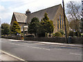
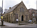
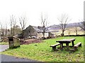
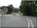
Area Overview for Temple Ward
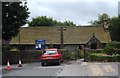
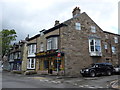
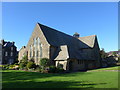
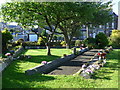
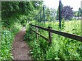
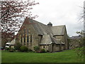
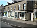
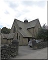
Photos of Temple Ward
Area Information
Temple Ward occupies a small, defined footprint of just 2.0 square kilometres within the High Peak district of Derbyshire. This compact size means the area is intimate and self-contained, yet it sits within the broader East Midlands region of England. Life here is characterised by a specific residential geography that forms part of the High Peak ward network, alongside neighbours like New Mills East/West, Padfield, and St John's. The location is precise, centred near coordinates 53.2474, -1.9209, which places it firmly in the rural borderlands between Derbyshire and Greater Manchester. You are looking at a neighbourhood where boundaries are clear and the environment is protected by planning constraints regarding flood risk, Ramsar wetlands, and Areas of Outstanding Natural Beauty. While you may encounter references to Temple House or Temple Street in nearby Derby, the specific ward you are considering remains distinct. Living in Temple Ward offers a tranquil setting where the physical scale does not overwhelm the local community feel. We know the coordinates and the boundaries, which gives you certainty about exactly where your future home would be situated relative to these larger regional landmarks.
- Area Type
- District Borough Unitary Ward
- Area Size
- 2.0 km²
- Population
- Not available
- Population Density
- Not available
Demographics
The community in Temple Ward is defined by a significant demographic shift towards older residents. Your typical neighbour is likely well into retirement, as the median age stands at 70 years. This suggests a population composed primarily of people in the 'Age: Total' range, indicating a mature crowd living together. You are entering a village of seniors where the social rhythm and daily concerns will differ markedly from younger, working-age hubs. The area maintains a high level of stability, with an impressive 88 per cent of households owning their homes outright or with a mortgage free. This ownership rate signals deep roots and a long-term commitment to the locality. Although detailed data on household composition, accommodation types, ethnic groups, and religion is not broken out to the ward level in the provided statistics, the overarching picture is one of a settled, ageing population. Deprivation is not a factor here, as the specific data provided focuses entirely on age and ownership metrics rather than income deficits. Buying a home in this environment means joining a community where tenure security is near universal and the demographic profile is distinctively veteran-centred.
Household Size
Accommodation Type
Tenure
Ethnic Group
Religion
Household Composition
Age
Household Deprivation
NS-SEC
Explore more demographic insights in this area
Go to Demographics tabPlanning
Planning Constraints
- Flood RiskPremium
- Ramsar Wetland SitesPremium
- Area of Outstanding Natural BeautyPremium
- Protected Nature ReservePremium
- Protected WoodlandPremium