Area Overview for Tansor
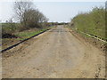
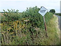
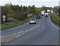
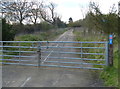
Photos of Tansor

Area Information
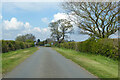
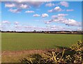
Tansor is a civil parish located in England, covering a total area of 6.0 km². Living in Tansor means residing in a defined local community with a clear administrative boundary. The settlement operates as a distinct neighbourhood within the broader landscape of the county. You will find a neighbourhood that functions as a self-contained unit for residents. Daily life here revolves around the specific geographical limits of this 6 square kilometre parish. The area serves as a traditional rural or semi-rural settlement where local governance occurs at the parish level. **Tansor** offers a setting where the scale of the environment is manageable. There are no large industrial zones or dense urban sprawls within the 6.0 km² footprint. This size allows for a closer community feel compared to larger towns. The layout supports a lifestyle centred on local amenities rather than reliance on distant city centres. Residents experience a distinct character shaped by the constraints and features of this specific parish. Homebuyers visiting **Tansor** seek a established locality with a known identity. The area does not grow rapidly, maintaining its status as a stable place to settle. The name **Tansor** denotes a specific geographic location with recognised boundaries. You can expect a environment defined by its existing infrastructure and local history. The parish provides a bounded area for living without the complexity of larger metropolitan regions. Totality of the area is well-understood, with clear implications for planning and travel.
- Area Type
- Parish
- Area Size
- 6.0 km²
- Population
- Not available
- Population Density
- Not available
Demographics
The community in Tansor is characterised by a significant portion of the population aged 70 and over, with the median age recorded at 70 years. This age profile suggests the area attracts older residents or serves as a retirement destination. You will encounter a demographic where older age brackets dominate the population statistics. The most common age range reported is simply categorised as Total Age, indicating broad coverage of demographic data. This suggests a community where longevity and later-life living are prominent features. Home ownership stands at 79%, which indicates that the vast majority of houses in **Tansor** are owned by their occupants. This high rate of ownership typically points towards stability and long-term residents rather than a transient rental market. Most households likely consist of older couples or single individuals given the median age. The area functions as a place where people settle down rather than pass through. Accommodation types reflect this ownership pattern, with properties remaining in private hands for extended periods. The household composition aligns with a mature population, though specific breakdowns by family type are not detailed in the core figures. Ethnic diversity, religious affiliation, and levels of deprivation are noted as part of the total profile but specific percentages vary or are not explicitly quantified in the primary dataset. Nevertheless, the overall picture is one of a settled, owner-occupied community where residents have invested in their homes. The 79% ownership figure is a concrete indicator of this stable demographic environment.
Household Size
Accommodation Type
Tenure
Ethnic Group
Religion
Household Composition
Age
Household Deprivation
NS-SEC
Explore more demographic insights in this area
Go to Demographics tabPlanning
Planning Constraints
- Flood RiskPremium
- Ramsar Wetland SitesPremium
- Area of Outstanding Natural BeautyPremium
- Protected Nature ReservePremium