Area Overview for Stanton-on-the-Wolds
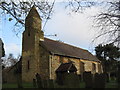
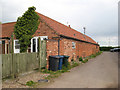
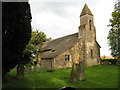
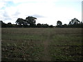
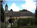
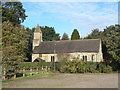
Photos of Stanton-on-the-Wolds


Area Information
Stanton-on-the-Wolds is a compact built-up area spanning 25.9 hectares, nestled in England’s rolling countryside. Its small size belies a well-established community, with a median age of 70, suggesting a population skewed toward older residents. This is a place where daily life is shaped by proximity to essential services and a low crime rate. The area’s appeal lies in its balance of practicality and tranquillity, with nearby amenities such as supermarkets, public transport, and an airport within reach. Residents benefit from a safety score of 93, reflecting a secure environment. While the area lacks the density of larger towns, its charm comes from a focus on accessibility and community stability. For those seeking a quieter lifestyle with reliable infrastructure, Stanton-on-the-Wolds offers a straightforward choice. The high home ownership rate of 87% indicates a long-term presence of residents, many of whom may have ties to the area’s history or local institutions.
- Area Type
- Built Up Area 250
- Area Size
- 25.9 hectares
- Population
- Not available
- Population Density
- Not available
Living in Stanton-on-the-Wolds offers access to a range of nearby amenities that support daily life. Within practical reach are five retail outlets, including Co-op Wolds, Morrisons Daily, and Sainsburys Keyworth, ensuring grocery and shopping needs are met. The area also benefits from five tram stops, such as Ruddington Lane and Compton Acres, along with Radcliffe Railway Station, providing convenient public transport options. The proximity to Nottingham Airport adds to the area’s accessibility for travel. For leisure, the Ruddington Lane Rec offers recreational space. These amenities collectively create a functional environment where residents can manage household tasks, commute efficiently, and enjoy local facilities without long commutes. The blend of retail, transport, and green spaces contributes to a practical, low-stress lifestyle.
Amenities
Schools
| Rank | School | Type | Entry gender | Ages |
|---|
Explore more schools in this area
Go to Schools tabDemographics
The population of Stanton-on-the-Wolds has a median age of 70, with the most common age range encompassing all demographics. This suggests a community where older residents form a significant portion of the population. Home ownership is exceptionally high, with 87% of households owning their properties. This figure points to a stable, long-term resident base rather than a transient rental market. The data does not specify household composition or ethnic diversity, but the high home ownership rate implies a settled population with fewer temporary residents. The area’s age profile may influence local services and amenities, with a focus on healthcare and community support. While no specific figures on deprivation are provided, the safety and connectivity scores suggest a quality of life that aligns with the needs of an older demographic.