Area Overview for Spire Ward
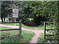
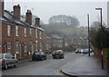
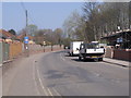
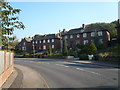
Photos of Spire Ward
Area Information
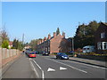
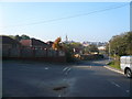
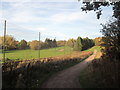
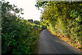
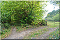
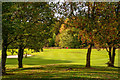
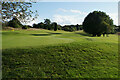
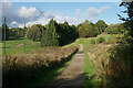
Spire Ward is an electoral ward within the Chesterfield district, situated in the East Midlands region of England. Located at coordinates 53.24°N, 1.42°W, this district occupies 3.9 km² of land in the broader Chesterfield area of Derbyshire. The ward functions primarily as a local government unit for electoral and administrative purposes. Living in Spire Ward means residing in a compact space where boundaries are clearly defined by local council records. You inhabit a defined geographical unit that serves as the foundational structure for local governance. The area's distinctiveness lies in its role as a specific administrative division within a larger urban context. Daily life in Spire Ward is shaped by its position within the Chesterfield district, offering a localised experience within the East Midlands. Residents interact with neighbourhoods that fall under the specific jurisdiction of this ward. Your home is located within 3.9 km², ensuring that the community footprint remains relatively tight. This compactness defines the physical reality of where you choose to settle. You live in a ward that tracks its own boundaries for census and planning purposes. The area represents a specific slice of Derbyshire where administrative clarity meets residential reality.
- Area Type
- District Borough Unitary Ward
- Area Size
- 3.9 km²
- Population
- Not available
- Population Density
- Not available
Demographics
The community in Spire Ward is defined by an older population structure. The median age for residents stands at 70 years, indicating a settlement heavily populated by seniors. Most households fall into broad age categories that align with this high median figure. You will find that the typical resident is significantly older than the national average. Home ownership levels in Spire Ward reach 51 per cent of all homes. This figure suggests a balanced market where roughly half of the properties are owned outright or with a mortgage, while the other half are rented or occupy different tenure types. The ward does not display specific breakdowns for predominant ethnic group, religion, or detailed household composition beyond the total figures provided. You cannot determine specific diversity metrics based on the available information. The age profile dominates the demographic narrative, painting a picture of a retired community. With a median age of 70, local amenities and services likely cater to mature lifestyles. The high home ownership rate of 51 per cent reflects a community that has settled long-term. You should expect neighbours who are deeply established in their locations. The lack of detailed ethnic or religious data limits the ability to describe cultural diversity, but the clear age demographics offer a precise view of who lives here.
Household Size
Accommodation Type
Tenure
Ethnic Group
Religion
Household Composition
Age
Household Deprivation
NS-SEC
Explore more demographic insights in this area
Go to Demographics tabPlanning
Planning Constraints
- Flood RiskPremium
- Ramsar Wetland SitesPremium
- Area of Outstanding Natural BeautyPremium
- Protected Nature ReservePremium
- Protected WoodlandPremium
- Crime RiskPremium