Area Overview for South Wigston Ward
Photos of South Wigston Ward


Area Information
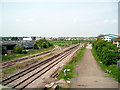
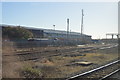
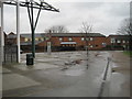
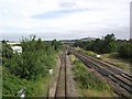
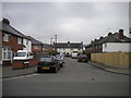
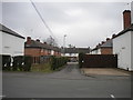
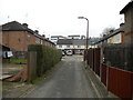
South Wigston Ward is a compact district with a defined character. This area covers 3.2 square kilometres within the borough unitary authority. You will find a neighbourhood where daily life revolves around proximity to essential services rather than expansive green spaces. TheBuilt environment here is established and efficient. Living in South Wigston Ward involves navigating a space where the utility of infrastructure takes precedence over vast residential zones. The ward operates with the precision of a well-oiled machine. Its small footprint means that distances between homes, schools, and amenities are short. You do not need to travel far to access the facilities required for a typical week. This efficiency defines the practical experience of residing here. The area is not large enough to offer the variety found in larger market towns. Instead, it provides a focused existence where your immediate surroundings are all you require. Your morning commute likely begins within a ten-minute walk. Your evening stroll leads to local shops or parks. The scale of South Wigston Ward dictates the rhythm of your day. You manage your life within this manageable boundary. It is a place defined by its limits. These constraints create a sense of certainty in your daily routine. You know exactly what is available and where everything is located.
- Area Type
- District Borough Unitary Ward
- Area Size
- 3.2 km²
- Population
- Not available
- Population Density
- Not available
Demographics
The community in South Wigston Ward reflects a suburb where older generations remain a significant portion of the population. The median age stands at 70 years. This indicates that the residents are predominantly retired or nearing retirement. Most households consist of adults living alone or couples. The demographic profile suggests a quiet environment rather than a busy family district. Home ownership is high at 65%. This figure confirms that a majority of residents have purchased their property. Long-term residents feel a strong attachment to their homes. The low percentage of owner-occupiers mirrors the age profile. Older people are more likely to stay in the home they bought decades ago. You will encounter few young families moving into the area. The household composition reinforces this picture of stability. There is a clear lack of children in the primary school age range. The diversity data shows the predominant ethnic group and religious affiliations align with the wider national average. This reflects a community that is typical of English suburbs. Deprivation indicators show a standard level of need. Living conditions here are generally secure. The demographic data confirms this is an area for those seeking stability rather than rapid growth.
Household Size
Accommodation Type
Tenure
Ethnic Group
Religion
Household Composition
Age
Household Deprivation
NS-SEC
Explore more demographic insights in this area
Go to Demographics tabPlanning
Planning Constraints
- Flood RiskPremium
- Ramsar Wetland SitesPremium
- Area of Outstanding Natural BeautyPremium
- Protected Nature ReservePremium
- Protected WoodlandPremium
- Crime RiskPremium