Area Overview for South Normanton West Ward
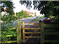
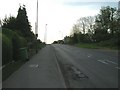
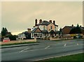
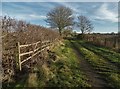
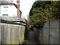
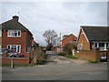
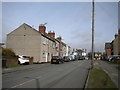
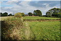
Photos of South Normanton West Ward
Area Information
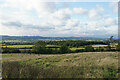
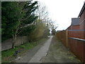
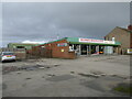
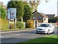
South Normanton West Ward is a compact residential district covering 5.7 km², serving a population of 1,822 people. This small geographical footprint supports a close-knit community where residents live just three people per hectare on average. Life here moves at a measured pace compared to denser urban centres, offering residents a distinct sense of locality. The ward operates as a self-contained neighbourhood within South Normanton, providing a clear boundary for those considering homes in this specific area. You will find a environment defined by its moderate density rather than sprawling expansion. The area maintains a manageable scale that allows for easy navigation on foot or cycle while avoiding the congestion associated with larger boroughs. Daily life in South Normanton West Ward centres on routine and stability. The limited land area means amenities are likely within short walking distances for most households. There are no major industrial zones or high-rise structures dominating the skyline, creating a uniform residential character throughout the ward. This consistency appeals to those seeking a predictable living environment. The population figure of 1,822 indicates a steady demography without rapid fluctuation in numbers. This stability often translates into established social networks and long-term residency. When looking at homes in South Normanton West Ward, you can expect an area where neighbours know one another by name and local services adapt to consistent demand patterns rather than transient populations.
- Area Type
- District Borough Unitary Ward
- Area Size
- 5.7 km²
- Population
- 1822
- Population Density
- 322 people/km²
Demographics
The community profile in South Normanton West Ward shows a significant demographic shift towards an older population. The median age stands at 70 years, making this one of the oldest wards in the region. This figure indicates that half the residents are over seventy, creating a neighbourhood dominated by retirees and older adults. Such an age profile means the local culture, services, and social events likely cater primarily to mature tastes and lifestyles. You will see fewer young families shifting the dynamic of schools or youth organisations compared to other districts. Home ownership is extremely prevalent in this area, with 72% of households owning their property outright or with a mortgage. This high rate suggests a community built on long-term investment rather than short-term renting. People choose to stay in their homes here, reinforcing the established social fabric. The remaining 28% of households rent, which may include older residents downsizing or individuals helping the elderly. Accommodation types across the ward reflect these priorities, though specific breakdowns of terraced versus detached homes are detailed elsewhere. The high ownership rate contributes to financial stability for residents. It also means that buyers looking to enter the market will encounter fewer landlords and more permanent owners setting conditions for sales. This demographic reality shapes the daily rhythm of South Normanton West Ward, where decisions are made with a multi-decade horizon in mind.
Household Size
Accommodation Type
Tenure
Ethnic Group
Religion
Household Composition
Age
Household Deprivation
NS-SEC
Explore more demographic insights in this area
Go to Demographics tabPlanning
Planning Constraints
- Flood RiskPremium
- Ramsar Wetland SitesPremium
- Area of Outstanding Natural BeautyPremium
- Protected Nature ReservePremium
- Protected WoodlandPremium
- Crime RiskPremium