Area Overview for SK23 7QG
Photos of SK23 7QG
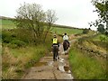
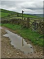
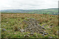
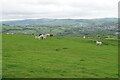
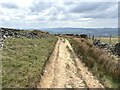
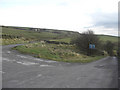
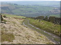
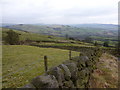
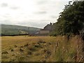
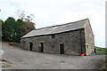
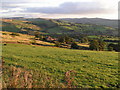
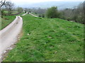
20 photos from this area
Area Information
Key information about the SK23 7QG including its size, population, and administrative classification.
- Area Type
- Postcode
- Area Size
- 1.2 km²
- Population
- 1331
- Population Density
- 296 people/km²
House Prices in SK23 7QG
14
Properties
£530,000
Average Sold Price
£395,000
Lowest Price
£775,000
Highest Price
Showing 14 properties
| Address | Type | Beds | Baths | Last Sale Price | Last Sale Date | |
|---|---|---|---|---|---|---|
| Laneside Farm, Dolly Lane, Buxworth, SK23 7QG | house | - | - | £395,000 | Feb 2025 | |
| Round Meadows Farm, Dolly Lane, Buxworth, SK23 7QG | Detached | 3 | 1 | £775,000 | Feb 2024 | |
| Old Engine House, Dolly Lane, Buxworth, SK23 7QG | house | - | - | £540,000 | Dec 2017 | |
| Big Tree Farm, Dolly Lane, Buxworth, SK23 7QG | house | 3 | - | £410,000 | May 2012 | |
| Michaels Chambers, The Haugh, Dolly Lane, Buxworth, SK23 7QG | house | 3 | 2 | - | - | |
| The Haugh Old Farm, Dolly Lane, Buxworth, SK23 7QG | house | 3 | - | - | - | |
| Hill Farm, Dolly Lane, Buxworth, SK23 7QG | Detached | - | - | - | - | |
| Old Smithy, Dolly Lane, Buxworth, SK23 7QG | Detached | - | - | - | - | |
| The Haugh Hay Barn, Dolly Lane, Buxworth, SK23 7QG | Detached | - | - | - | - | |
| Hillcroft, Dolly Lane, Buxworth, SK23 7QG | Detached | - | - | - | - |
Page 1 of 2
Energy Efficiency in SK23 7QG
Amenities
Schools
| Rank | School | Type | Entry gender | Ages |
|---|
Explore more schools in this area
Go to Schools tabDemographics
Household Size
Two person
most common
Accommodation Type
Houses
most common
Tenure
74
majority
Ethnic Group
White
most common
Religion
N/A
most common
Household Composition
N/A
most common
Age
47
median
Adults (30-64 years)
most common
Household Deprivation
N/A
with no deprivation
NS-SEC
37
in Lower managerial occupations
Explore more demographic insights in this area
Go to Demographics tabPlanning
Planning Constraints
- Flood RiskPremium
- Ramsar Wetland SitesPremium
- Area of Outstanding Natural BeautyPremium
- Protected Nature ReservePremium
- Protected WoodlandPremium