Area Overview for SK17 9DL
Photos of SK17 9DL
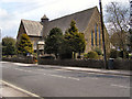
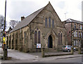
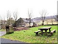
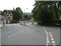
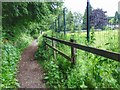
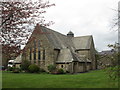
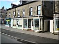
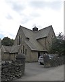
97 photos from this area
Area Information
Key information about the SK17 9DL including its size, population, and administrative classification.
- Area Type
- Postcode
- Area Size
- 9.4 hectares
- Population
- 1728
- Population Density
- 957 people/km²
House Prices in SK17 9DL
26
Properties
£395,573
Average Sold Price
£145,000
Lowest Price
£750,000
Highest Price
Showing 26 properties
| Address | Type | Beds | Baths | Last Sale Price | Last Sale Date | |
|---|---|---|---|---|---|---|
| 51 Green Lane, Buxton, SK17 9DL | house | 4 | 2 | £720,000 | Dec 2024 | |
| 59 Green Lane, Buxton, SK17 9DL | Detached | 4 | 2 | £750,000 | Jul 2024 | |
| 42 Green Lane, Buxton, SK17 9DL | Terraced | 3 | 2 | £475,000 | Jun 2022 | |
| Rooks Flight, 49 Green Lane, Buxton, SK17 9DL | house | - | - | £725,000 | Apr 2022 | |
| Rowan, 26 Green Lane, Buxton, SK17 9DL | house | - | - | £375,000 | May 2021 | |
| 33 Green Lane, Buxton, SK17 9DL | Detached | 5 | 2 | £530,000 | Dec 2020 | |
| Bishops Dale, 44 Green Lane, Buxton, SK17 9DL | Character Property | 3 | 2 | £440,000 | Oct 2017 | |
| 53 Green Lane, Buxton, SK17 9DL | Detached | 3 | 2 | £530,000 | Aug 2017 | |
| 24 Green Lane, Buxton, SK17 9DL | Detached | 4 | 2 | £405,000 | Sep 2016 | |
| Silverwood, 41 Green Lane, Buxton, SK17 9DL | house | - | - | £365,000 | Aug 2014 |
Page 1 of 3
Energy Efficiency in SK17 9DL
Amenities
Schools
| Rank | School | Type | Entry gender | Ages |
|---|
Explore more schools in this area
Go to Schools tabDemographics
Household Size
Two person
most common
Accommodation Type
Houses
most common
Tenure
88
majority
Ethnic Group
White
most common
Religion
N/A
most common
Household Composition
N/A
most common
Age
47
median
Adults (30-64 years)
most common
Household Deprivation
N/A
with no deprivation
NS-SEC
48
in Lower managerial occupations
Explore more demographic insights in this area
Go to Demographics tabPlanning
Planning Constraints
- Flood RiskPremium
- Ramsar Wetland SitesPremium
- Area of Outstanding Natural BeautyPremium
- Protected Nature ReservePremium
- Protected WoodlandPremium