Area Overview for SK17 6UN
Photos of SK17 6UN
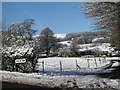
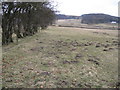
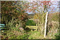
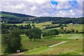
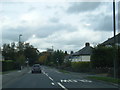

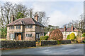
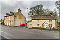
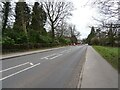
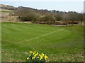
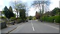
34 photos from this area
Area Information
Key information about the SK17 6UN including its size, population, and administrative classification.
- Area Type
- Postcode
- Area Size
- 2.9 hectares
- Population
- 2588
- Population Density
- 48 people/km²
House Prices in SK17 6UN
17
Properties
£379,944
Average Sold Price
£107,500
Lowest Price
£535,000
Highest Price
Showing 17 properties
| Address | Type | Beds | Baths | Last Sale Price | Last Sale Date | |
|---|---|---|---|---|---|---|
| Graymar, Bishops Lane, Buxton, SK17 6UN | Detached | 4 | 1 | £535,000 | Dec 2020 | |
| The Gables, Bishops Lane, Buxton, SK17 6UN | Detached | 5 | 3 | £525,000 | May 2018 | |
| The Moor, Bishops Lane, Buxton, SK17 6UN | house | - | - | £307,000 | Dec 2017 | |
| Hawthorn Cottage, Bishops Lane, Buxton, SK17 6UN | Semi-detached | 4 | 1 | £320,000 | Dec 2015 | |
| The Cottage, Bishops Lane, Buxton, SK17 6UN | house | - | - | £240,000 | Oct 2014 | |
| Southmead, Bishops Lane, Buxton, SK17 6UN | house | 6 | - | £499,995 | Jan 2014 | |
| Westlands, Bishops Lane, Buxton, SK17 6UN | house | - | - | £425,000 | Aug 2013 | |
| River Lodge, Bishops Lane, Buxton, SK17 6UN | Detached | - | - | £460,000 | Apr 2006 | |
| Crossways, Bishops Lane, Buxton, SK17 6UN | Bungalow | - | - | £107,500 | Sep 1995 | |
| Moorfields, Bishops Lane, Buxton, SK17 6UN | Detached | 5 | 3 | - | - |
Page 1 of 2
Energy Efficiency in SK17 6UN
Amenities
Schools
| Rank | School | Type | Entry gender | Ages |
|---|
Explore more schools in this area
Go to Schools tabDemographics
Household Size
Family (3-5 people)
most common
Accommodation Type
Houses
most common
Tenure
85
majority
Ethnic Group
White
most common
Religion
N/A
most common
Household Composition
N/A
most common
Age
47
median
Adults (30-64 years)
most common
Household Deprivation
N/A
with no deprivation
NS-SEC
40
in Lower managerial occupations
Explore more demographic insights in this area
Go to Demographics tabPlanning
Planning Constraints
- Flood RiskPremium
- Ramsar Wetland SitesPremium
- Area of Outstanding Natural BeautyPremium
- Protected Nature ReservePremium
- Protected WoodlandPremium