Area Overview for SK17 6QT
Photos of SK17 6QT
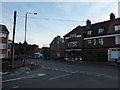
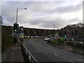
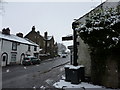
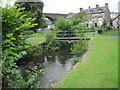
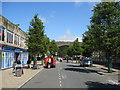
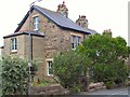
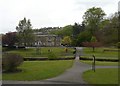
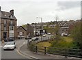
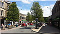
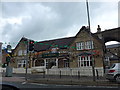
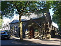
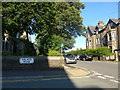
100 photos from this area
Area Information
Key information about the SK17 6QT including its size, population, and administrative classification.
- Area Type
- Postcode
- Area Size
- 1949 m²
- Population
- 1086
- Population Density
- 3289 people/km²
House Prices in SK17 6QT
21
Properties
£137,475
Average Sold Price
£90,000
Lowest Price
£164,950
Highest Price
Showing 21 properties
| Address | Type | Beds | Baths | Last Sale Price | Last Sale Date | |
|---|---|---|---|---|---|---|
| 3, BROCKLEHURST COTTAGES, HOLKER AVENUE, Buxton, SK17 6QT | Detached | - | - | £164,950 | Oct 2020 | |
| 2, BROCKLEHURST COTTAGES, HOLKER AVENUE, Buxton, SK17 6QT | Detached | - | - | £164,950 | Aug 2020 | |
| 1, Brocklehurst Cottages, Holker Avenue, Buxton, SK17 6QT | house | - | - | £130,000 | Oct 2015 | |
| 2B Holker Avenue, Buxton, SK17 6QT | Maisonette | - | - | £90,000 | Oct 2010 | |
| 3 Holker Avenue, Buxton, SK17 6QT | house | 3 | 1 | - | - | |
| 2, VICTORIA PLACE, HOLKER AVENUE, Buxton, SK17 6QT | Flat | 1 | 1 | - | - | |
| 6, Victoria Place, Holker Avenue, Buxton, SK17 6QT | Flat | - | - | - | - | |
| 5, Victoria Place, Holker Avenue, Buxton, SK17 6QT | Flat | - | - | - | - | |
| 11, Victoria Place, Holker Avenue, Buxton, SK17 6QT | Flat | - | - | - | - | |
| 3, Victoria Place, Holker Avenue, Buxton, SK17 6QT | Flat | - | - | - | - |
Page 1 of 3
Energy Efficiency in SK17 6QT
Amenities
Schools
| Rank | School | Type | Entry gender | Ages |
|---|
Explore more schools in this area
Go to Schools tabDemographics
Household Size
One person
most common
Accommodation Type
Flats
most common
Tenure
35
majority
Ethnic Group
White
most common
Religion
N/A
most common
Household Composition
N/A
most common
Age
47
median
Adults (30-64 years)
most common
Household Deprivation
N/A
with no deprivation
NS-SEC
26
in Lower managerial occupations
Explore more demographic insights in this area
Go to Demographics tabPlanning
Planning Constraints
- Flood RiskPremium
- Ramsar Wetland SitesPremium
- Area of Outstanding Natural BeautyPremium
- Protected Nature ReservePremium
- Protected WoodlandPremium