Area Overview for SK13 8SS
Photos of SK13 8SS
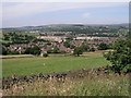
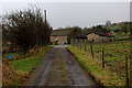
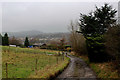
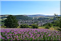
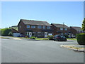
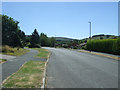
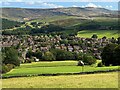
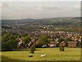
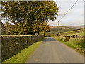
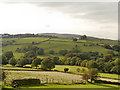
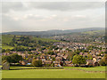
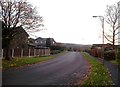
23 photos from this area
Area Information
Key information about the SK13 8SS including its size, population, and administrative classification.
- Area Type
- Postcode
- Area Size
- 7240 m²
- Population
- 1152
- Population Density
- 2494 people/km²
House Prices in SK13 8SS
20
Properties
£152,277
Average Sold Price
£69,950
Lowest Price
£269,500
Highest Price
Showing 20 properties
| Address | Type | Beds | Baths | Last Sale Price | Last Sale Date | |
|---|---|---|---|---|---|---|
| 14 Sandiway, Glossop, SK13 8SS | house | - | - | £259,000 | Jun 2021 | |
| 19 Sandiway, Glossop, SK13 8SS | Semi-detached | 3 | 1 | £197,000 | Jul 2019 | |
| 27 Sandiway, Glossop, SK13 8SS | house | - | - | £202,500 | Mar 2018 | |
| 3 Sandiway, Glossop, SK13 8SS | Detached | 4 | 2 | £269,500 | Apr 2016 | |
| 17 Sandiway, Glossop, SK13 8SS | Semi-detached | 3 | - | £138,750 | Aug 2015 | |
| 1 Sandiway, Glossop, SK13 8SS | house | - | - | £170,000 | Aug 2013 | |
| 15 Sandiway, Glossop, SK13 8SS | Semi-detached | - | - | £165,000 | Jun 2008 | |
| 23 Sandiway, Glossop, SK13 8SS | Semi-detached | - | - | £154,950 | May 2007 | |
| 8 Sandiway, Glossop, SK13 8SS | Semi-detached | - | - | £107,000 | May 2004 | |
| 9 Sandiway, Glossop, SK13 8SS | Detached | - | - | £159,000 | Mar 2004 |
Page 1 of 2
Energy Efficiency in SK13 8SS
Amenities
Schools
| Rank | School | Type | Entry gender | Ages |
|---|
Explore more schools in this area
Go to Schools tabDemographics
Household Size
Two person
most common
Accommodation Type
Houses
most common
Tenure
92
majority
Ethnic Group
White
most common
Religion
N/A
most common
Household Composition
N/A
most common
Age
47
median
Adults (30-64 years)
most common
Household Deprivation
N/A
with no deprivation
NS-SEC
48
in Lower managerial occupations
Explore more demographic insights in this area
Go to Demographics tabPlanning
Planning Constraints
- Flood RiskPremium
- Ramsar Wetland SitesPremium
- Area of Outstanding Natural BeautyPremium
- Protected Nature ReservePremium
- Protected WoodlandPremium