Area Overview for SK13 6NS
Photos of SK13 6NS
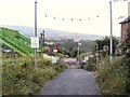
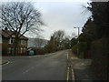
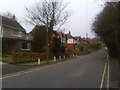
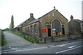
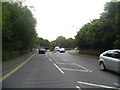
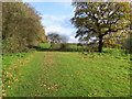
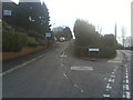
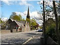
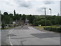
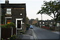
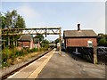
85 photos from this area
Area Information
Key information about the SK13 6NS including its size, population, and administrative classification.
- Area Type
- Postcode
- Area Size
- 2.9 hectares
- Population
- 1338
- Population Density
- 2290 people/km²
House Prices in SK13 6NS
36
Properties
£163,120
Average Sold Price
£65,000
Lowest Price
£320,000
Highest Price
Showing 36 properties
| Address | Type | Beds | Baths | Last Sale Price | Last Sale Date | |
|---|---|---|---|---|---|---|
| 58 Simmondley Lane, Simmondley, Glossop, SK13 6NS | Terraced | 2 | 1 | £250,000 | Apr 2024 | |
| 32 Simmondley Lane, Simmondley, Glossop, SK13 6NS | Terraced | 2 | 1 | £240,000 | Feb 2024 | |
| 36A Simmondley Lane, Simmondley, Glossop, SK13 6NS | Retail | 2 | 1 | £224,000 | Oct 2022 | |
| 56 Simmondley Lane, Simmondley, Glossop, SK13 6NS | house | - | - | £245,000 | Aug 2022 | |
| 70 Simmondley Lane, Simmondley, Glossop, SK13 6NS | Semi-detached | 4 | 2 | £320,000 | Apr 2022 | |
| 10 Simmondley Lane, Simmondley, Glossop, SK13 6NS | Semi-detached | 3 | 1 | £130,000 | Nov 2021 | |
| 40 Simmondley Lane, Simmondley, Glossop, SK13 6NS | Terraced | 2 | 2 | £185,000 | Aug 2021 | |
| 34 Simmondley Lane, Simmondley, Glossop, SK13 6NS | house | - | - | £195,000 | Nov 2020 | |
| 36 Simmondley Lane, Simmondley, Glossop, SK13 6NS | Terraced | 3 | 1 | £219,660 | Nov 2018 | |
| 52 Simmondley Lane, Simmondley, Glossop, SK13 6NS | house | - | - | £170,000 | May 2017 |
Page 1 of 4
Energy Efficiency in SK13 6NS
Amenities
Schools
| Rank | School | Type | Entry gender | Ages |
|---|
Explore more schools in this area
Go to Schools tabDemographics
Household Size
Two person
most common
Accommodation Type
Houses
most common
Tenure
83
majority
Ethnic Group
White
most common
Religion
N/A
most common
Household Composition
N/A
most common
Age
47
median
Adults (30-64 years)
most common
Household Deprivation
N/A
with no deprivation
NS-SEC
39
in Lower managerial occupations
Explore more demographic insights in this area
Go to Demographics tabPlanning
Planning Constraints
- Flood RiskPremium
- Ramsar Wetland SitesPremium
- Area of Outstanding Natural BeautyPremium
- Protected Nature ReservePremium
- Protected WoodlandPremium