Area Overview for SK13 6NF
Photos of SK13 6NF
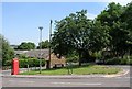
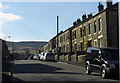
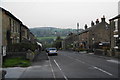
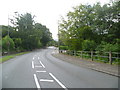
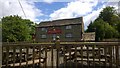
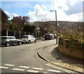
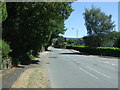
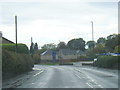
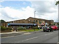
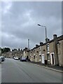
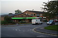
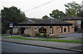
27 photos from this area
Area Information
Key information about the SK13 6NF including its size, population, and administrative classification.
- Area Type
- Postcode
- Area Size
- 2.3 hectares
- Population
- 1736
- Population Density
- 3449 people/km²
House Prices in SK13 6NF
54
Properties
£170,782
Average Sold Price
£47,000
Lowest Price
£360,000
Highest Price
Showing 54 properties
| Address | Type | Beds | Baths | Last Sale Price | Last Sale Date | |
|---|---|---|---|---|---|---|
| 33 Werneth Road, Simmondley, Glossop, SK13 6NF | house | 3 | 1 | £275,000 | Jun 2025 | |
| 65 Werneth Road, Simmondley, Glossop, SK13 6NF | Terraced | 2 | 1 | £195,000 | Mar 2025 | |
| 45 Werneth Road, Simmondley, Glossop, SK13 6NF | Detached | 3 | 1 | £333,000 | Jan 2025 | |
| 50 Werneth Road, Simmondley, Glossop, SK13 6NF | house | 3 | 1 | £340,000 | Nov 2024 | |
| 48 Werneth Road, Simmondley, Glossop, SK13 6NF | house | - | - | £360,000 | Oct 2022 | |
| 75 Werneth Road, Simmondley, Glossop, SK13 6NF | house | - | - | £180,000 | May 2022 | |
| 35 Werneth Road, Simmondley, Glossop, SK13 6NF | Detached | 3 | 1 | £280,000 | Dec 2021 | |
| 61 Werneth Road, Simmondley, Glossop, SK13 6NF | house | - | - | £145,500 | Feb 2020 | |
| 54 Werneth Road, Simmondley, Glossop, SK13 6NF | Detached | 5 | 2 | £300,000 | Jul 2019 | |
| 77 Werneth Road, Simmondley, Glossop, SK13 6NF | Semi-detached | 2 | 1 | £147,000 | Jun 2019 |
Page 1 of 6
Energy Efficiency in SK13 6NF
Amenities
Schools
| Rank | School | Type | Entry gender | Ages |
|---|
Explore more schools in this area
Go to Schools tabDemographics
Household Size
Family (3-5 people)
most common
Accommodation Type
Houses
most common
Tenure
93
majority
Ethnic Group
White
most common
Religion
N/A
most common
Household Composition
N/A
most common
Age
47
median
Adults (30-64 years)
most common
Household Deprivation
N/A
with no deprivation
NS-SEC
50
in Lower managerial occupations
Explore more demographic insights in this area
Go to Demographics tabPlanning
Planning Constraints
- Flood RiskPremium
- Ramsar Wetland SitesPremium
- Area of Outstanding Natural BeautyPremium
- Protected Nature ReservePremium
- Protected WoodlandPremium