Area Overview for SK13 2DS
Photos of SK13 2DS
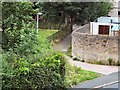
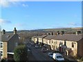
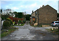
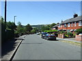
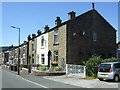
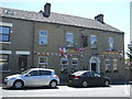
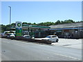
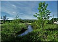
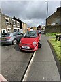
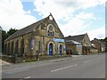
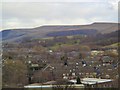
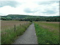
42 photos from this area
Area Information
Key information about the SK13 2DS including its size, population, and administrative classification.
- Area Type
- Postcode
- Area Size
- 2.2 hectares
- Population
- 1475
- Population Density
- 4105 people/km²
House Prices in SK13 2DS
52
Properties
£131,322
Average Sold Price
£99,000
Lowest Price
£175,000
Highest Price
Showing 52 properties
| Address | Type | Beds | Baths | Last Sale Price | Last Sale Date | |
|---|---|---|---|---|---|---|
| 36 Newlands Drive, Hadfield, Glossop, SK13 2DS | Flat | - | - | £126,000 | Jan 2023 | |
| 12 Newlands Drive, Hadfield, Glossop, SK13 2DS | house | - | - | £175,000 | Oct 2019 | |
| 7 Newlands Drive, Hadfield, Glossop, SK13 2DS | Semi-detached | 3 | 1 | £135,000 | Dec 2016 | |
| 3 Newlands Drive, Hadfield, Glossop, SK13 2DS | Semi-detached | 3 | 1 | £150,000 | Mar 2016 | |
| 5 Newlands Drive, Hadfield, Glossop, SK13 2DS | house | 3 | - | £124,900 | Feb 2014 | |
| 8 Newlands Drive, Hadfield, Glossop, SK13 2DS | house | - | - | £110,000 | Nov 2009 | |
| 10 Newlands Drive, Hadfield, Glossop, SK13 2DS | Terraced | - | - | £130,000 | Jan 2009 | |
| 15 Newlands Drive, Hadfield, Glossop, SK13 2DS | Terraced | 3 | 1 | £132,000 | Apr 2008 | |
| 49 Newlands Drive, Hadfield, Glossop, SK13 2DS | Flat | - | - | £99,000 | May 2007 | |
| 26 Newlands Drive, Hadfield, Glossop, SK13 2DS | Terraced | - | - | - | - |
Page 1 of 6
Energy Efficiency in SK13 2DS
Amenities
Schools
| Rank | School | Type | Entry gender | Ages |
|---|
Explore more schools in this area
Go to Schools tabDemographics
Household Size
Two person
most common
Accommodation Type
Houses
most common
Tenure
69
majority
Ethnic Group
White
most common
Religion
N/A
most common
Household Composition
N/A
most common
Age
47
median
Adults (30-64 years)
most common
Household Deprivation
N/A
with no deprivation
NS-SEC
30
in Lower managerial occupations
Explore more demographic insights in this area
Go to Demographics tabPlanning
Planning Constraints
- Flood RiskPremium
- Ramsar Wetland SitesPremium
- Area of Outstanding Natural BeautyPremium
- Protected Nature ReservePremium
- Protected WoodlandPremium